Overview of Drone Real Estate Use in Miami
Miami has become a vibrant hub for real estate development, with its stunning skyline, waterfront properties, and diverse neighborhoods attracting both investors and homeowners. To stay competitive in such a dynamic market, real estate professionals are increasingly incorporating drone technology into their marketing strategies. Drones offer a unique perspective, capturing aerial views that standard ground-based photography cannot achieve, thereby enhancing the visibility and appeal of properties.
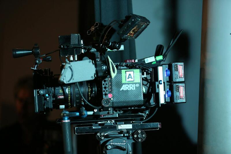
The integration of drone photography and videography has revolutionized property presentation. High-resolution aerial images and videos allow prospective buyers to grasp the full scope and layout of a property, including expansive land parcels, outdoor amenities, and surrounding environments. This comprehensive view helps in making informed decisions, especially when dealing with large estate listings or properties with intricate landscapes.
Real estate agents and developers leverage drone footage to create compelling virtual tours, promotional videos, and high-impact marketing materials. These visuals not only elevate listings’ presentation but also foster greater engagement from online audiences. Additionally, drone shots can highlight features such as waterfront access, private docks, or proximity to key city landmarks, which are critical selling points in Miami’s luxury and beachfront markets.

Beyond marketing, drones also serve practical roles in property management. They facilitate detailed inspections of roofs, facades, and landscaping, enabling accurate assessments without invasive approaches. This dual capability—to both showcase and inspect—makes drone applications indispensable within Miami’s real estate sector.
Furthermore, drone technology can streamline the process of project planning and development. Developers use aerial footage to evaluate site conditions, monitor construction progress, and visualize future landscape changes. Such insights support strategic planning and enhance stakeholder communication.
As Miami continues its rapid growth and development, the adoption of drone technology in real estate is expected to expand further. Its ability to provide comprehensive visuals and detailed inspections positions drones as a vital tool for real estate professionals aiming to showcase properties effectively and efficiently in a competitive market.
Legal Regulations and Permits for Drone Operations in Miami
For real estate professionals leveraging drone technology in Miami, adherence to official procedures is essential to ensure smooth operation and compliance with regional guidelines. The use of drone technology for commercial purposes, including real estate marketing and inspections, requires obtaining specific permits from relevant authorities. This involves understanding and following the guidelines set by federal, state, and local agencies, primarily to facilitate safe and responsible drone operations.
Operators must familiarize themselves with regulations established by the Federal Aviation Administration (FAA), which governs all commercial drone activities nationwide. The FAA mandates the registration of drones exceeding certain weight limits and the issuance of a Remote Pilot Certificate for operators engaging in commercial flights. This certification process involves passing aeronautical knowledge tests and adhering to pilot responsibilities, including flight limitations and safety protocols.
In addition to federal regulations, Miami's local ordinances may impose restrictions related to flight zones, altitude limits, and designated no-fly areas, especially near airports, military installations, or other sensitive sites. Property developers and real estate agencies should consult with local authorities or legal experts familiar with Miami's drone policies to avoid inadvertent violations. Gaining necessary permits often entails submitting detailed flight plans, especially when operating in densely populated or protected areas.
To streamline the permit process, many drone service providers in Miami maintain relationships with regulatory bodies and leverage industry-standard application procedures. They typically ensure that drone flights are scheduled, qualified, and executed within the boundaries of law, safeguarding both the operator and the public. This responsible approach guarantees that high-quality aerial footage and inspections are obtained efficiently, without risking legal complications.
Proper documentation of all permits and pilot certifications should be maintained as part of organizational compliance. Additionally, staying updated on changes in drone regulations, especially any modifications specific to Miami or Florida, is vital for ongoing operations. Continuous education and certification renewals help establish credibility and demonstrate compliance within the dynamic landscape of drone use in real estate markets.

Utilizing Approved Methods for Drone Operations in Miami
To ensure seamless and compliant drone activities within Miami's vibrant real estate landscape, operators must adhere to proven procedures established through authorized channels. This includes engaging with local authorities or regulatory bodies responsible for airspace management and licensing. Securing necessary clearances involves submitting detailed flight plans that specify the areas, altitudes, and times of operation, especially when operating in closely populated regions or near significant landmarks.
Partnerships with reputable drone service companies that maintain established relationships with regulatory agencies can greatly facilitate the permit acquisition process. These providers typically employ industry-standard documentation and streamline the application procedures to align with official protocols. As a result, drone flights can be scheduled with confidence, knowing that they are conducted within permitted parameters, minimizing disruptions and potential violations.
Professional drone operators prioritize thorough record-keeping, ensuring all permits, certifications, and flight logs are meticulously documented. This organizational diligence not only enhances operational transparency but also supports accountability and ongoing compliance. Regular updates on local regulations, including any recent amendments pertinent to Miami or broader Florida jurisdictions, are vital, as they inform operational adjustments and training requirements for drone pilots.
By following these established methods—grounded in official processes—real estate professionals and drone operators can confidently utilize aerial technologies to enhance property marketing strategies, conduct high-quality inspections, and gather valuable data, all while maintaining adherence to structured frameworks designed to promote safety, quality, and efficiency in Miami's competitive market.
Legal Regulations and Permits for Drone Operations in Miami
Understanding Compliance Frameworks for Aerial Drone Use
Operation of drones in Miami for real estate purposes requires adherence to established procedures that ensure safe and responsible flying practices. Sourcing permits involves a comprehensive review of Miami's specific requirements, which are designed to coordinate drone activities with local airspace management protocols. These processes typically involve submitting detailed flight plans, demonstrating pilot competency through certified training, and providing proof of drone registration with appropriate authorities. Structured documentation such as flight logs, safety checklists, and operational procedures are maintained meticulously to support ongoing compliance and accountability.
Engaging with drone service providers familiar with Miami’s regulatory environment can streamline permit acquisition. Such companies often have established connections with key agencies and possess a strong understanding of the documentation needed for approval. This familiarity expedites the process, reducing delays and ensuring that aerial filming and surveying are carried out within approved operational windows. It is also important for drone operators to stay current on any updates to local regulations or procedural changes, which could impact ongoing or future projects.

Official Documentation and Certification Requirements
To operate legally for real estate applications, drone pilots in Miami must hold valid certification credentials demonstrating their competency. These credentials include an FAA Remote Pilot Certificate, which signifies adherence to national standards, alongside local permits issued specifically for commercial drone activities. Drone registration with appropriate authorities must be up to date, and a comprehensive operational manual should be maintained on-site during all flights.
Additionally, operators should carry proof of insurance coverage that includes liabilities inherent to aerial operations. Maintaining detailed records of each flight — encompassing date, location, purpose, and duration — supports transparency, especially during audits or inspections. These records also contribute to a clear operational history that illustrates consistent adherence to established practices, thus bolstering client confidence in Miami’s drone realty services.
Official Methods to Obtain Necessary Permits
Securing an operational permit involves a multi-step process that begins with an application submission to Miami's relevant authorities, often coordinated through authorized drone service companies. The application must include detailed flight specifications, intended operational areas, safety measures, and pilot certifications. Approval processes may vary depending on the scope and location of the drone mission, with higher scrutiny given to flights over densely populated or sensitive zones.
Operators are encouraged to preempt potential hurdles by consulting official guidance documents and participating in required safety workshops or training programs. Proactive engagement with Miami’s regulatory agencies, along with detailed project proposals, can greatly facilitate the approval cycle. Once permits are granted, it is imperative that drone operators adhere strictly to the stipulated conditions, including altitude limitations, flight times, and no-fly zones, to maintain compliance throughout the project lifecycle.
Using Drones for Property Inspections and Assessments
Deploying drone technology for property inspections and assessments has revolutionized traditional real estate evaluation processes within Miami. By utilizing drones, real estate professionals can conduct comprehensive site surveys, structural inspections, and land assessments with remarkable precision and efficiency. This enhances the accuracy of property condition reports, identifying potential issues that may not be visible from ground level or during standard inspections.
Drone inspections enable high-resolution aerial imaging that captures every detail of a property’s exterior and surrounding environment. These images assist in evaluating structural integrity, roofing conditions, and landscape features, providing vital insights before listing or purchasing a property. The ability to generate detailed digital models or 3D virtual tours from drone-captured data also allows clients to remotely view and assess properties comprehensively, saving time and facilitating informed decision-making.
In the context of land development or large-scale real estate projects, drones facilitate topographical mapping and volumetric measurements of land parcels. This data aids in planning and development processes, ensuring compliance with zoning regulations and optimizing project design. The high accuracy and speed of drone-based assessments minimize the need for extensive manual inspections, reducing associated costs and risks.

Furthermore, regular drone inspections contribute to proactive maintenance strategies by monitoring property conditions over time. These ongoing evaluations help detect early signs of structural wear, water intrusion, or landscaping issues, enabling timely interventions that preserve property value. The documentation produced through drone assessments also enhances transparency and supports insurance claims or legal processes by providing verifiable visual records.
To ensure that drone inspections are conducted effectively and within compliance parameters, real estate professionals and property managers must engage with licensed drone operators who follow established procedures and safety protocols. The integration of drone technology into property assessment routines not only elevates operational standards but also delivers a clearer, more comprehensive view of real estate assets across Miami’s vibrant market.
Using Drones for Property Inspections and Assessments
Employing drone technology for property inspections in Miami offers a strategic advantage by providing detailed visual data of the property’s condition from multiple perspectives. High-quality aerial imagery enables property owners, investors, and professionals to evaluate structures, roofs, facades, and surrounding landscapes with precision. This method reduces reliance on manual inspections, which can be time-consuming and sometimes hazardous, especially for large-scale or high-rise properties.
One of the primary applications of drone inspections is the early detection of structural issues, such as cracks, material deterioration, or water damage. Equipped with high-resolution cameras and sensors, drones can capture comprehensive images that highlight areas requiring maintenance or repair. Such proactive assessments support maintenance planning, helping to prevent costly repairs and mitigate risks associated with property degradation.
Furthermore, drones facilitate detailed evaluations of hard-to-reach areas, including rooftops and upper facades, often inaccessible via traditional inspection methods. This capability ensures that property managers and engineers obtain accurate, up-to-date visuals for compliance checks and routine maintenance routines.
Utilizing drone footage during property assessments also enhances documentation processes—creating verifiable records that support insurance claims and legal documentation. Real-time data collection allows for efficient reporting and facilitates decision-making, especially when assessing damage following adverse weather conditions prevalent in Miami, such as hurricanes or heavy storms.
Because the quality and reliability of drone inspections depend heavily on the expertise of the operators, engaging licensed and experience-certified drone service providers is essential. These professionals adhere to established navigational and safety standards, ensuring that data collected is accurate, comprehensive, and compliant with applicable protocols. This approach maintains operational integrity while maximizing the benefits of drone-based assessments in Miami’s dynamic real estate landscape.
Future Trends in Drone Real Estate in Miami
Emerging Technologies and Innovations
As drone technology continues to evolve, the integration of advanced features is set to revolutionize the real estate sector in Miami. High-resolution sensors and multispectral imaging enable capturing detailed visuals that surpass traditional photography, allowing potential buyers to assess property conditions remotely with greater accuracy. Additionally, the development of autonomous flight capabilities paired with AI-driven analytics facilitates the creation of comprehensive property reports without extensive manual intervention.
Furthermore, the adoption of 3D mapping and photogrammetry techniques enhances the presentation of Miami properties through interactive virtual tours. These immersive experiences provide prospective buyers with an in-depth understanding of a property’s spatial layout, improving engagement and decision-making processes.

Integration with Smart Technologies and Data Analytics
Smart integration leverages drone-collected data with cloud-based platforms, allowing real-time access and analysis of property metrics. This approach supports targeted marketing strategies by providing detailed insights into property features, environmental conditions, and surrounding infrastructure. The continuous improvement of data processing tools is expected to streamline workflows, reduce operational costs, and enhance the precision of property evaluations.
Regulatory Developments Supporting Innovation
Miami’s regulatory environment is gradually adapting to accommodate these technological advancements, fostering a conducive atmosphere for innovative drone applications. Updated policies and certification processes are designed to ensure safe and efficient integration of drones into real estate workflows, encouraging local agencies and service providers to adopt new tools that benefit both sellers and buyers.

Impact on the Local Market
The dynamic evolution of drone technology is expected to accelerate property marketing and inspection processes within Miami’s competitive real estate market. Faster turnaround times, richer visual content, and more precise inspections support a seamless transaction experience. As a result, real estate agencies and developers are increasingly investing in drone solutions to stay ahead, attract a broader audience, and meet the growing demand for innovative property presentation methods.
Understanding the Use of Drone Real Estate Photography in Miami
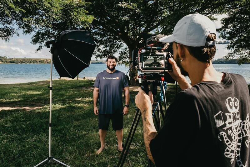
In the vibrant Miami real estate market, drone technology has become an essential tool for showcasing properties from unique perspectives that traditional methods cannot capture. Elevated aerial imagery and videos allow real estate professionals to highlight key property features, surrounding landscapes, and neighborhood appeal with exceptional clarity and detail, creating compelling marketing materials that stand out in a competitive environment. High-quality drone footage enhances virtual tours, engages prospective buyers more effectively, and ultimately accelerates the sales process. This innovative approach to real estate marketing leverages the latest drone hardware and sophisticated editing software to deliver visually stunning content that elevates property presentation to new heights.

Key Components of Drone-based Property Visualization
- 360-degree aerial shots that reveal entire estates and their proximity to local amenities.
- Dynamic video tours that orbit the property to showcase architecture and landscape details.
- Detailed footage of access points, driveways, and outdoor features critical to prospective buyers.
- Top-down images highlighting property boundaries and lot sizes.
Enhancing Buyer Engagement through Drone Content
Engaging visual content created via drone photography and videography significantly increases the likelihood of attracting serious buyers. The immersive experience offered by aerial footage provides a comprehensive understanding of the property layout and its environment. Prospective purchasers can assess property scale, outdoor space usability, and neighborhood context without stepping foot onsite initially, saving time and resources. Additionally, such content often results in higher online engagement, more inquiries, and a faster transaction process, making it a valuable investment for Miami-based real estate agents and developers seeking to maximize their outreach efforts.
Implementation of Drone Tech in Miami's Property Listings
Utilizing drone imagery in listings involves strategic planning around optimal flight paths, lighting conditions, and camera settings to ensure the best quality output. Professionals often collaborate with experienced drone operators who understand the nuances of aerial photography and videography, coupled with knowledge of Miami’s distinctive landscape and architecture. This synergy guarantees visual content that enhances the overall marketing narrative and appeals to a global audience interested in Miami’s diverse real estate offerings.