
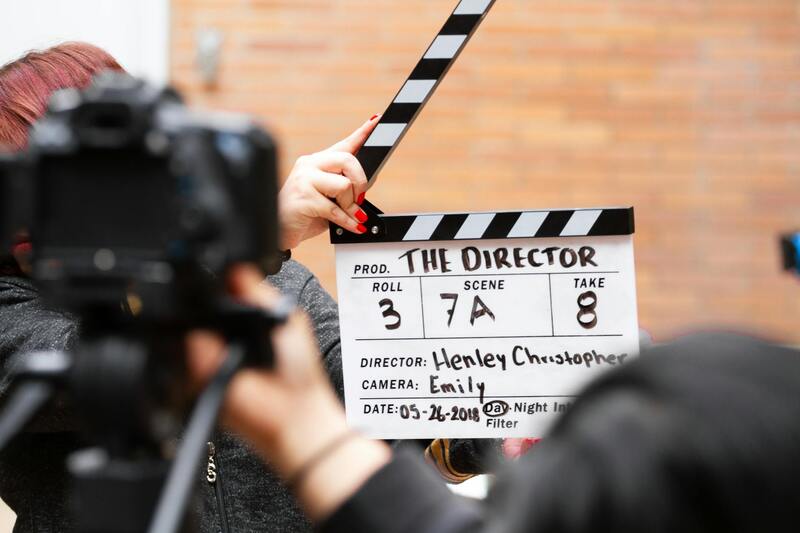
Overview of Drone Real Estate Photography
Drone real estate photography has revolutionized how properties are marketed and showcased to potential buyers. By integrating unmanned aerial vehicles equipped with high-resolution cameras, real estate professionals can capture striking aerial visuals that provide a comprehensive view of a property and its surrounding environment. Unlike traditional ground-based photography, drone imagery offers a unique vantage point that highlights features often unseen from the ground, such as property size, landscaping, neighboring amenities, and overall neighborhood appeal.
In today’s competitive real estate market, high-quality visuals are essential in capturing attention and convincing buyers of a property's value. Drone photography integrates seamlessly into property marketing strategies, providing an immersive experience that static ground shots cannot deliver. This technology allows real estate agents and property owners to demonstrate the scale and scope of a property comprehensively. The dynamic aerial images showcase elements such as expansive backyards, outdoor living spaces, pools, driveways, and the property's proximity to local attractions, contributing to a compelling listing presentation.
Additionally, drone footage supports virtual tours and online listings, making it easier for prospective buyers to explore a property remotely. This method enhances engagement and can significantly reduce the time a property spends on the market. As digital platforms become the primary channel for property searches, employing drone photography ensures listings are visually appealing, professional, and informative, giving them a competitive edge.

Collectively, the role of drone real estate photography extends beyond simple visual enhancement; it fundamentally transforms property marketing by providing clarity, context, and an immersive experience for potential buyers. When executed with professionalism and precision, drone imagery becomes an essential tool in the modern real estate industry, helping listings stand out in a crowded market and fostering faster, more confident transactions.
Proven Methods for Legitimate Drone Operation in Real Estate
Executing drone photography for real estate listings requires adherence to established procedures that ensure consistent quality and safety. The process begins with comprehensive planning, which involves analyzing the property layout to determine optimal flight paths and shot sequences. This step ensures that all critical features of the property are captured with the right angles and elevations, providing a comprehensive visual narrative.
Utilizing specialized drone flight planning tools, such as mission planning software, allows operators to pre-program automated flight paths. These tools help maintain consistent shot quality while reducing manual flight errors. Conducting a thorough site assessment is essential, considering factors such as wind conditions, obstacles, and potential interference sources to ensure smooth UAV operation.
Pre-flight safety checks are a critical component of legitimate drone deployment. This includes verifying battery levels, inspecting propellers, confirming sensor calibration, and reviewing weather conditions. Proper preparation minimizes the risk of mid-flight issues and guarantees high-quality content capture.
Operators should also obtain any necessary permissions from property owners and comply with local regulations governing drone flights. In many jurisdictions, this may involve submitting flight plans for approval or notifying relevant authorities to facilitate safe and authorized operations. Maintaining records of these interactions helps demonstrate diligent compliance should any questions arise.
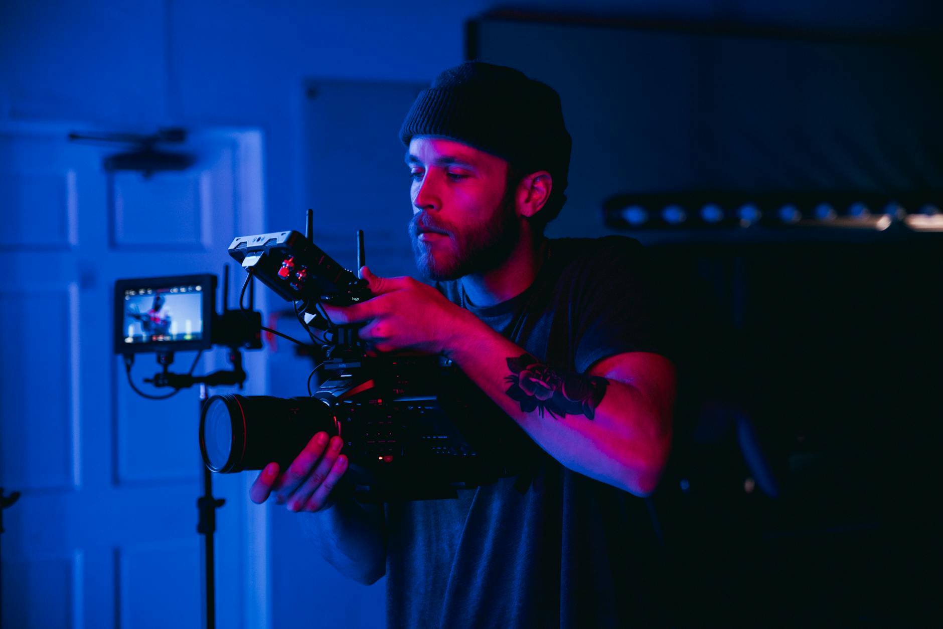
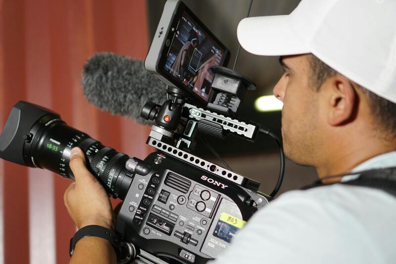
When it comes to the actual filming process, professionalism is paramount. Skilled operators utilize precise control techniques to execute smooth, steady flights that center on showcasing the entire property environment. Using high-quality camera gimbals attached to drones ensures the stabilization of images and videos, resulting in crisp, professional visuals that effectively communicate the property's appeal.
Post-flight procedures also constitute a vital stage. These include reviewing footage for quality assurance, downloading data securely, and backing up the content. This safeguards the material against loss or damage and ensures that the final product meets industry standards for clarity, color accuracy, and framing.
Implementing structured workflows, from pre-flight planning through post-production, reinforces the integrity of drone real estate photography services. Enlisting trained professionals who adhere strictly to these methods guarantees that every shot supports the commercial goals of real estate marketing—maximizing property exposure, attracting more prospective buyers, and supporting faster sales cycles.
Methods for Acquiring Official Drone Footage for Real Estate
To ensure that drone footage aligns with professional standards for real estate marketing, it is essential to utilize official and verified methods of operation. This includes employing registered drone operators who have undergone the necessary training and certification processes. Such professionals typically possess comprehensive knowledge of establishment-specific guidelines, flight regulations, and safety protocols, which are fundamental for capturing high-quality visuals while maintaining adherence to established standards.
Before conducting aerial shoots, a detailed flight plan should be prepared. This plan encompasses the intended flight paths, altitude limits, weather considerations, and specific property angles to be captured. Sharing this plan with relevant authorities can facilitate smoother operations and reduce potential disruptions. These preparatory steps contribute significantly to the effectiveness and professionalism of the final imagery, directly impacting its efficacy in property marketing.
Additionally, compliance with local aviation policies often involves registering the drone with appropriate official bodies. Registration provides accountability and fosters transparency, especially when operating in neighborhoods with specific zoning or flight restrictions. Using approved equipment, such as drones equipped with high-resolution cameras and stabilization systems, further guarantees the production of sharp, detailed visuals that accentuate property features.
Standardized post-flight procedures, including secure data transfer and meticulous footage review, are vital for maintaining the integrity of the final product. This involves checking footage for clarity, color accuracy, and framing consistency. Maintaining detailed records of flight logs, permissions obtained, and data backups exemplifies diligent adherence to best practices, ensuring that each stage of the process remains transparent and official.
Employing these methods, involving trained professionals, proper planning, and official registration, underpin high-quality drone real estate photography that effectively supports marketing goals. This structured approach not only enhances visual appeal but also builds trust with clients and potential buyers, knowing the imagery was acquired through authorized and meticulous procedures.
Implementing Official Methods for Drone Photography in Real Estate
To ensure the production of high-quality drone footage that accurately reflects a property's features and complies with industry standards, several official methods should be followed meticulously. This involves thorough planning, document management, and adherence to procedural guidelines that establish transparency and accountability throughout the process.
Prior to conducting any flight, a comprehensive flight plan must be developed, outlining the specific areas to be captured, flight heights, angles, and the intended purpose of each shot. This detailed plan should be approved by relevant authorities or by an internal compliance team if operating within a structured organization. Such planning minimizes risks and ensures aerial operations are conducted safely and efficiently.
Registration of the drone with official bodies is a critical step, providing a record of the equipment used and facilitating accountability. This process often involves submitting documentation about the drone's specifications, safety features, and operational parameters. Maintaining this record is crucial for auditability and for demonstrating compliance in case of inspections.
Experienced UAV pilots should obtain necessary certifications from recognized authorities, such as completing specific training courses and passing assessments that validate their ability to operate drones safely and effectively. These credentials are vital as they reinforce the professionalism of the operation and provide assurance of adherence to established guidelines.
During flight operations, real-time monitoring and data collection should be documented meticulously. This includes logging flight times, environmental conditions, and any deviations from the planned route. Post-flight, data such as images and videos must be securely stored, with detailed records of when and how the footage was captured, to uphold data integrity and facilitate future referencing.
Quality control procedures are integral, involving the review of footage for clarity, color fidelity, and framing accuracy. Ensuring that the visuals meet industry standards not only enhances marketing efforts but also maintains a record of content quality and consistency. When all procedures are followed systematically, the resulting visuals will uphold professional standards and reinforce the credibility of the marketing campaign.
Furthermore, regular maintenance schedules and calibration checks for the drone equipment ensure optimal operational performance, reducing the likelihood of technical errors during filming. Maintaining updated records of these activities contributes to ongoing compliance and operational excellence.
Incorporating these official practices, such as detailed planning, proper registration, certified operation, and diligent record-keeping, are fundamental in producing reliable, high-quality drone imagery for real estate listings. These standards support transparency, foster trust among clients, and uphold the professional reputation of the drone service provider.
Comprehensive Registration and Documentation Processes for Drone Use
Implementing a structured system of registration and documentation fortifies the professionalism of drone services in real estate marketing. This approach involves meticulous logging of every flight, capturing critical details such as date, time, flight path, environmental conditions, and operational parameters. Maintaining such records ensures clarity and accountability, facilitating seamless audits and reviews when necessary.
Pre-flight planning forms a vital component, where operators document the specific objectives, designated flight zones, and safety considerations. During the flight, real-time notes about weather changes or unexpected obstacles can be recorded, preserving an accurate account of the sortie. Post-flight, comprehensive data management includes securely storing images and videos, alongside detailed logs, which serve as valuable references for future marketing efforts or evaluations of performance.
Additionally, quality assurance measures such as review protocols are established to verify that captured visuals meet defined standards of clarity, color accuracy, and framing precision. This internal review process guarantees that only high-grade content reaches prospective buyers, reinforcing trust in the marketing materials used.
Regular maintenance schedules and calibration routines for drone equipment are rigorously followed to ensure optimal performance. Keeping detailed records of maintenance activities, software updates, and calibration checks minimizes the risk of technical interruptions during shoots and supports consistent output quality.
These practices form the backbone of responsible drone usage, emphasizing the importance of systematic planning, accurate data logging, and diligent equipment management. Such standards lead to the creation of reliable, compliant, and visually compelling imagery that effectively showcases properties, builds client confidence, and maintains the integrity of the marketing campaign. Upholding these meticulous procedures ensures that every piece of aerial content produced aligns with industry benchmarks and supports sustained success in real estate promotion.
Overview of Drone Real Estate Photography
Drone real estate photography has revolutionized property marketing by providing breathtaking aerial perspectives that traditional ground-based images cannot achieve. Utilizing advanced unmanned aerial vehicles (UAVs), professional photographers capture high-resolution visuals of properties from strategic angles, showcasing features like expansive landscapes, unique architectural details, and surrounding amenities. These visuals serve to create a compelling narrative that resonates with prospective buyers, offering them a comprehensive view of the property’s layout and environment.
In the realm of real estate marketing, drone imagery stands out for its ability to convey scale and context, essential elements in buyer decision-making. From aerial shots of sprawling estates to close-up footage of listing details, drone photography enhances listings beyond conventional methods. This approach facilitates better visualization, especially for properties with substantial land, waterfront access, or unique topographical features. As a result, real estate professionals adopting drone imagery can differentiate their offerings in competitive markets and attract more targeted interest.
Benefits of Using Drones in Real Estate Marketing
The employment of drone technology in real estate brings multiple advantages. Firstly, it creates immersive and engaging visual content that captures attention online and in print. This heightened visual appeal can lead to increased listing visibility and faster sale cycles. Secondly, drone footage enables prospective buyers to virtually explore properties from various angles, fostering a sense of familiarity and connection before physical visits. This not only streamlines the viewing process but also filters genuinely interested buyers, saving time and resources.
Furthermore, drone imagery provides a competitive edge by highlighting features that might be missed in standard photography, such as spacious outdoor areas, landscaping, pool setups, or proximity to local attractions. Its ability to illustrate property surroundings aids buyers in understanding the full context of a listing, influencing their perception of value and desirability.
Types of Drone Shots for Real Estate Listings
Effective drone real estate photography employs a diverse array of shot types tailored to emphasize key property aspects. These include:
- Elevated Front Shots: Showcase the property's entrance, façade, and immediate landscape from a commanding perspective.
- Aerial Property Overviews: Large-scale shots capturing the entire property, surrounding terrain, and notable features to demonstrate property boundaries and land usage.
- Interior and Outdoor Transition Shots: Dynamic sequences transitioning from indoor spaces to outdoor environments, emphasizing the flow and connection between interior design and exterior landscaping.
- Night-Time Shots: Illuminated views that highlight lighting design, outdoor ambiance, and security features, adding aesthetic appeal.
- Panoramic and 360-Degree Views: Wide-angle captures that provide comprehensive visual context, ideal for showcasing large estates or scenic properties.
Selecting the appropriate shot types depends on the property’s unique characteristics and marketing goals, ensuring each image or video segment contributes effectively to the property's narrative.
Legal and Licensing Requirements for Drone Use
To maintain high standards and operational integrity in drone real estate photography, professionals adhere to established procedures for drone operation. These include obtaining necessary permissions for aerial work, ensuring compliance with airspace regulations, and maintaining current certifications and licenses. Rigid adherence to these protocols not only fosters trust with clients but also ensures safety and accountability during drone flights.
Operators typically undergo specialized training that covers airspace rules, flight safety, and emergency procedures. Regular updates to certifications and ongoing education ensure pilots are well-versed in the latest industry standards and technological advancements. Documenting each flight, including flight plans, licensing credentials, and safety checks, creates a transparent record that supports the professionalism of drone photography services.
In addition, professional drone services often work closely with local authorities to secure permissions, especially for properties situated in sensitive or restricted areas. This collaborative approach ensures that aerial photography sessions proceed smoothly and meet all relevant guidelines, ultimately safeguarding the interests of all parties involved.
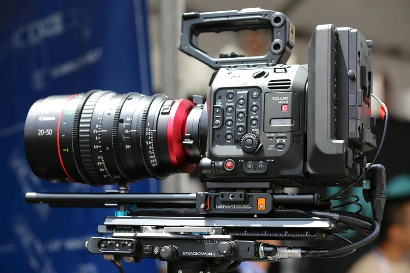
Choosing the Right Drone Equipment
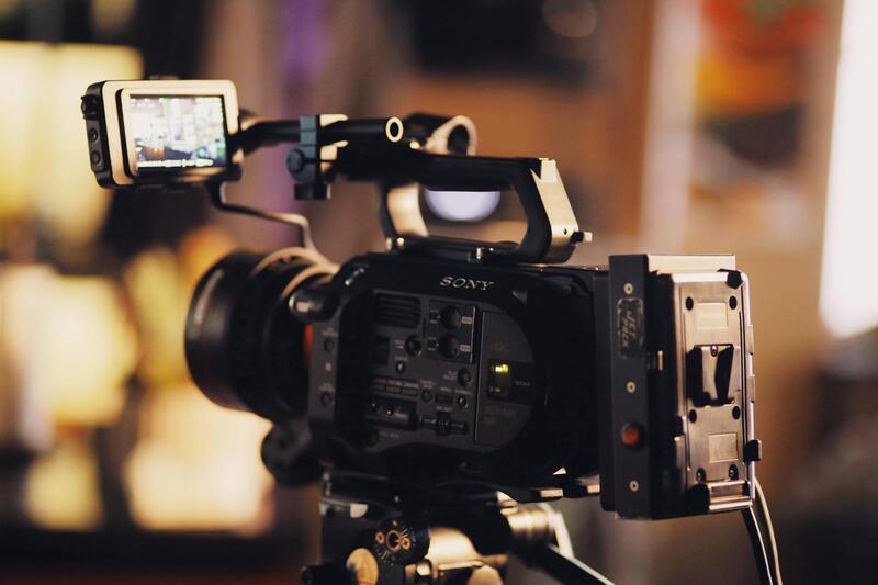
Selecting appropriate drone equipment is a critical factor that impacts the quality of visual content and operational efficiency. High-performance drones equipped with stabilized gimbals, high-resolution cameras, and obstacle avoidance technologies enable capturing sharp, smooth footage under various conditions. Cameras with interchangeable lenses expand creative possibilities, allowing for wide-angle or zoomed-in shots tailored to specific property features.
Furthermore, drones with extended flight durations and GPS navigation capabilities facilitate comprehensive coverage of large properties without interruptions. Payload capacities must align with the weight of professional-grade cameras and accessories to maintain flight stability. Investing in reliable drone brands with robust support networks enhances durability and minimizes downtime, ensuring consistent service delivery.
Professional drone operators also consider maintenance and ease of use when selecting equipment. Routine calibration, software updates, and timely repairs preserve optimal performance. The choice of drone gear should reflect the specific demands of real estate marketing, balancing technical specifications, budget considerations, and operational safety standards.
Secure and Accurate Data Acquisition Methods for Drone Real Estate Photography
Implementing robust data collection techniques is essential to produce high-quality drone imagery for real estate listings. Professional operators utilize precise flight planning tools to map out optimal flight paths that ensure comprehensive coverage of the property and its surrounding environment. These plans include pre-set waypoints, altitude considerations, and camera angles to maximize image clarity and depth. By adhering to meticulously designed flight routes, photographers ensure consistency across multiple shoots and enhance the ability to capture the property's most appealing features.
Utilizing advanced GPS-enabled drones allows for accurate navigation during flight, which is critical in maintaining the desired framing and ensuring that all pertinent areas are covered. This technology also helps in conducting repeatable footage for comparative analyses or multiple property views. Incorporating high-resolution sensors with precise stabilization mitigates issues like motion blur or instability, resulting in crisp images that highlight the property's value.
Furthermore, employing survey-grade equipment equips the photographer with detailed topographical data, which may be used for virtual staging, elevation analysis, or terrain mapping. This integration of accurate mapping techniques supports marketing strategies by providing potential buyers with comprehensive spatial representations.
Staying current with the latest data collection methodologies involves continuously updating flight data protocols, calibrating navigation systems, and adopting software solutions that optimize image capture workflows. This ongoing process ensures that drone real estate photography remains precise, reliable, and capable of producing compelling visual narratives that resonate with prospective buyers.
Complying with Industry Standards and Best Practices
Maintaining high standards in drone real estate photography requires adherence to established industry norms and best practices. This involves ensuring that flight operations are conducted with precision, safety, and professionalism. Accurate pre-flight planning is essential, including evaluating weather conditions, analyzing property layouts, and establishing clear flight paths to capture the most compelling angles. Employing calibrated equipment and consistent camera settings helps produce uniform and high-quality images suitable for marketing purposes.
Periodic training and skill development for drone operators are vital, keeping teams updated on latest techniques, safety protocols, and technological advancements. This ongoing education not only improves image quality but also reinforces responsible drone usage. Furthermore, implementing robust post-flight procedures, such as data backup, image review, and editing workflows, ensures that the final delivery meets high standards of clarity and visual appeal.
Building Credibility Through Portfolio and Client Testimonials
Showcasing a diverse portfolio of completed projects demonstrates expertise and versatility in capturing various property types, from luxury homes to commercial spaces. High-resolution images, virtual tours, and cinematic videos serve as tangible proof of capability, helping to establish a reputation for excellence within Miami's competitive real estate market.
Client testimonials are powerful tools for conveying reliability and satisfaction. Collecting and showcasing positive feedback about the quality of imagery, timeliness, and overall service can significantly influence prospective clients' decision-making. Establishing transparent communication channels and fostering trust through professional conduct reinforce a company's standing as a dedicated provider of drone real estate photography services.
Leveraging Industry Associations and Certification Programs
Participation in recognized industry associations and certification programs bolsters credibility and demonstrates a commitment to excellence. These affiliations often provide access to the latest industry standards, resources, and networking opportunities with real estate professionals and drone specialists. Certification from reputable entities also assures clients of adhering to best practices, safety guidelines, and technological competence.
Moreover, engaging in ongoing professional development through workshops, seminars, and trade shows allows drone photographers to stay informed about emerging trends, regulatory updates, and innovative filming techniques. This proactive approach ensures that offerings remain current, impressive, and aligned with client expectations.
Utilizing Accurate Metadata and Documentation
Properly documenting flight details, equipment specifications, and post-processing procedures enhances transparency and accountability. Accurate metadata embedded within images can assist in organizing marketing materials and verifying compliance with operational standards. Providing clients with comprehensive reports and detailed descriptions of capturing methods establishes trust and demonstrates professionalism.
Implementing Quality Control Measures
Quality assurance protocols involve multiple levels of review before final delivery. This includes checking images for sharpness, proper exposure, color accuracy, and framing. Employing professional editing tools to refinis images ensures that they meet high visual standards, highlighting the property’s best features effectively. Consistent quality control not only boosts client satisfaction but also strengthens reputation in a competitive real estate market.
Conclusion
High-quality drone real estate photography hinges on a blend of adhering to proven operational standards, showcasing a strong portfolio, engaging in industry collaborations, and maintaining rigorous quality controls. By focusing on these legitimate methods and continuously honing skills and protocols, professionals can reliably produce compelling visual content that meets the demands of Miami’s thriving real estate sector. This approach not only elevates individual service offerings but also builds enduring trust among clients and partners engaged in property marketing.