
Overview of Drone House Photography
Drone house photography has revolutionized the way real estate professionals and property owners showcase homes. By utilizing specialized aerial technology, this form of imaging offers a perspective that traditional ground-based photography cannot achieve. It captures expansive views of entire properties, surrounding landscapes, and architectural details from various angles, providing a comprehensive visual narrative that appeals to prospective buyers.
This innovative approach is particularly valuable in competitive markets, where stunning visuals can significantly influence a buyer’s decision. Drones can easily access high, hard-to-reach areas, offering a unique vantage point to highlight a property's best features, such as spacious yards, private pools, or scenic views. Moreover, drone house photography enhances online listings, making them more attractive and engaging, thus increasing viewership and interest.
With advancements in drone technology, the process of creating high-quality images and videos has become more accessible. These devices are equipped with high-resolution cameras capable of producing detailed imagery that can reflect the true essence and appeal of a property. The strategic use of drone imaging in real estate helps agents and owners stand out by providing prospective buyers with a comprehensive visual experience that emphasizes the property’s appeal, layout, and surroundings.
Understanding the importance of perspective and visual storytelling, drone house photography creates a compelling narrative that can motivate potential buyers to envision themselves living in the space. It transforms static listings into engaging virtual tours, making the property more memorable and enticing in an increasingly digital marketplace.
These images not only enhance marketing efforts but also assist real estate professionals in providing a transparent and detailed view of properties, reducing uncertainties for buyers and encouraging faster sales. As drone technology continues to evolve, so does its pivotal role in modern real estate marketing, setting a new standard for property visualization and engagement.
In-Depth Methods for Official Drone House Photography
To achieve high-quality drone house photography that effectively highlights a property's features and surroundings, utilizing official techniques is essential. These methods ensure consistency, safety, and optimal visual results, all while maintaining compliance with professional standards. Here are key practices to consider:
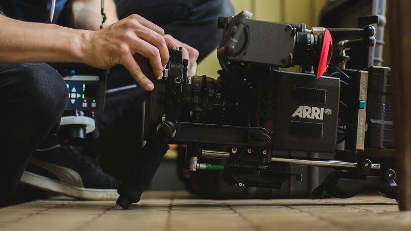
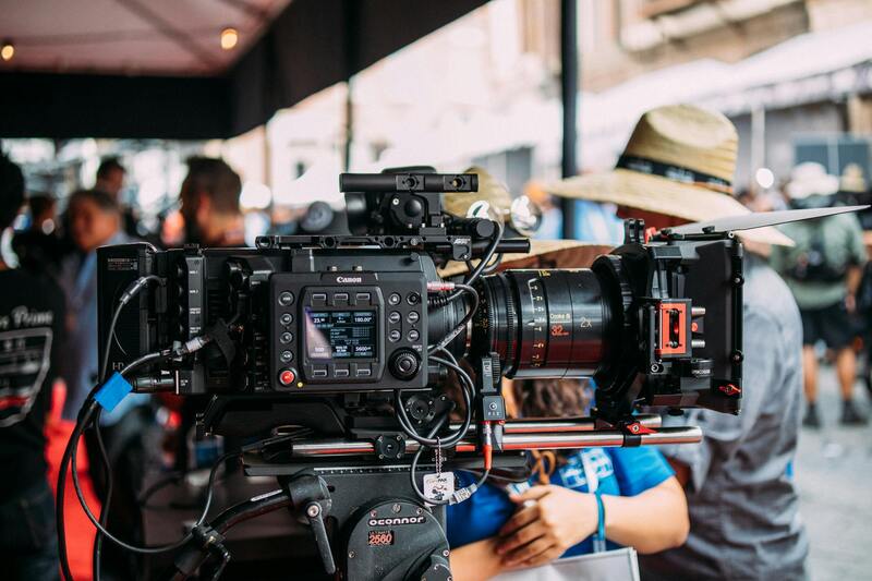
Utilizing Professional-Grade Equipment
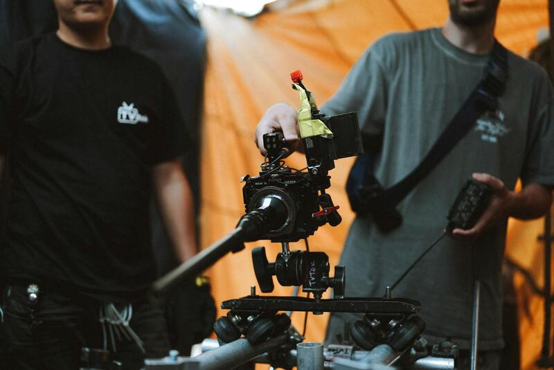
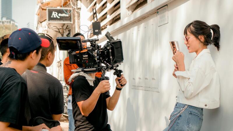
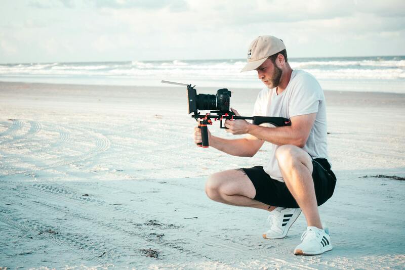
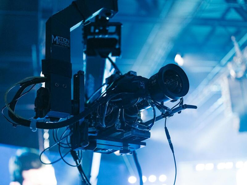
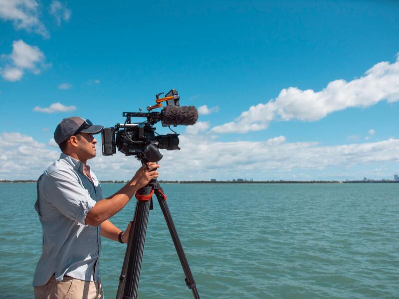
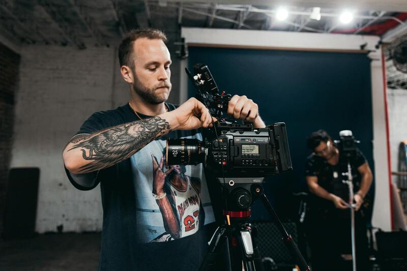
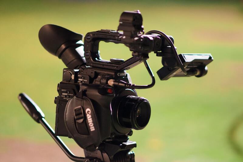
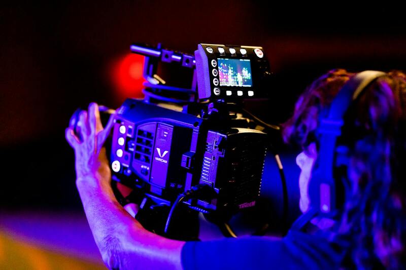
Investing in drones equipped with high-resolution cameras, like the DJI Mavic series or Inspire models, guarantees sharp, detailed images. These devices often come with adjustable camera settings, such as ISO, exposure, and shutter speed, allowing precise control over image quality. Paired with high-quality lenses and gimbal stabilization, these tools help capture steady, clear shots even in challenging lighting conditions.
Conducting Thorough Pre-Shoot Planning
Effective drone photography begins with meticulous planning. This includes analyzing the property layout, noting optimal angles, and scheduling shoots during favorable weather conditions. Checking local airspace regulations and obtaining necessary authorizations beforehand ensures a seamless operation. Using pre-visualization tools or flight planning software helps map out flight paths that maximize coverage, including aerial views of landscaping, rooflines, and surrounding amenities.
Implementing Precise Flight Techniques
Executing controlled flight maneuvers is vital for capturing professional images. Pilots should employ slow, deliberate movements to avoid motion blur and maintain consistent framing. Techniques such as orbiting the property or conducting vertical ascents and descents provide comprehensive perspective views. Maintaining a steady altitude prevents distortion, while overlapping shots can be stitched into panoramic or 3D models, offering immersive visualizations.
Adhering to Safety Protocols and Regulatory Guidelines
Adopting established safety protocols not only preserves equipment and protects bystanders but also ensures quality results. This involves conducting pre-flight safety checks, maintaining line-of-sight, and avoiding restricted zones. Utilizing geofencing tools or no-fly zone maps helps prevent inadvertent violations. Pilots should also monitor weather conditions continuously, avoiding windy or rain-prone days that could jeopardize flight stability.
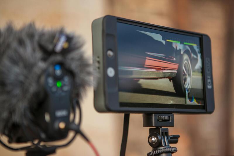
Post-Flight Image Processing and Enhancement
Post-production plays a crucial role in elevating drone house photography. Using professional editing software, such as Adobe Lightroom or Photoshop, allows for color correction, image sharpening, and perspective adjustments. Techniques like HDR imaging combine multiple exposures to enhance dynamic range, showcasing details in both shadows and highlights. Post-processing ensures every shot aligns with the aesthetic standards expected in real estate marketing.
Integrating Drone Visuals into Marketing Platforms
Once images and videos are finalized, integrating them into comprehensive marketing strategies maximizes their impact. High-quality visuals should be optimized for various channels, including online listings, virtual tours, and social media campaigns. Embedding aerial shots within 3D walkthroughs or virtual staging platforms offers prospective buyers an engaging experience. Strategically timed releases of drone footage can heighten interest and accelerate the sales process.
Comprehensive Equipment and Technical Specifications for Drone House Photography
Successful drone house photography hinges on the choice of appropriate aerial platforms and high-quality camera systems. Drones designed for professional real estate imagery are equipped with features that ensure clarity, detail, and wide coverage, essential for capturing property exteriors effectively. These drones often come with high-resolution sensors, usually 20 megapixels or more, capable of capturing crisp, detailed imagery that stands out in listings. Camera stabilization systems, such as gimbals, are crucial for eliminating motion blur and ensuring smooth footage, even in slightly windy conditions.
The selection of additional accessories can further enhance image quality and operational flexibility. ND filters, for instance, control exposure during bright daylight, preventing overexposed shots and allowing for better color vibrancy. Polarizing filters reduce glare from reflective surfaces like windows or water features, providing a clear view of the property's architecture. For capturing expansive property lots or surrounding landscapes, wide-angle lenses are preferred as they encompass broader fields of view, minimizing the need for multiple shots.
Beyond camera hardware, flight controllers with advanced GPS capabilities facilitate precise positioning and stable hover for consistent shot composition. Autonomous flight modes and programmable GPS waypoint routes allow for systematic coverage of larger properties, ensuring no area is missed. Additionally, drones fitted with obstacle avoidance sensors are safer to operate, especially around complex structures or landscaped estates.
Optimal Drone Models and Accessories for Real Estate Imagery
- DJI Mavic 3 Enterprise: Features a 20MP Hasselblad camera, obstacle sensors on all sides, and smart flight modes perfect for comprehensive property photography.
- Autel Evo II Pro: Known for its 1-inch CMOS sensor capable of capturing high-resolution images and 6K video, suitable for delivering professional-quality visuals.
- Camera Filters and Stabilization Equipment: ND filters, polarizers, and gimbal stabilizers are essential to optimize image clarity, especially in challenging lighting conditions.
- Additional accessories: Extra batteries, portable charging stations, and protective casings ensure uninterrupted shoots and equipment safety.
Investing in these tools and understanding their technical capabilities ensure the production of top-tier visuals that effectively showcase residential properties and attract potential buyers.
Choosing the Right Drone for House Photography
When selecting a drone specifically for drone house photography, it is essential to focus on models that combine high-quality imaging capabilities with reliable flight performance. Drones equipped with large sensors and high optical zoom enable capturing expansive exterior views and intricate architectural details from various angles, providing comprehensive visuals of residential properties. For instance, drones with 1-inch CMOS sensors or larger are preferred, as they can produce crisp, detailed images even in challenging lighting conditions. Additionally, models with reliable flight stability and obstacle avoidance features ensure smooth operation around complex structures, landscaped gardens, or neighboring properties. An ideal drone will also offer smart flight modes and programmable waypoint routes, facilitating systematic coverage of entire properties without missing key areas.
Optimal Flight Patterns and Angles for Residential Property Shots
To truly capture the essence of a house and its surroundings, a strategic approach to flight paths and shooting angles is crucial. Begin with a comprehensive aerial overview from a moderate altitude, providing context for the property's size and nearby features. Then, execute systematic passes around the house, ensuring to include frontal shots that highlight entryways and unique architectural elements. Diagonal and corner angles tend to accentuate depth and spatial relationships, adding dynamism to the portfolio of images. Additionally, capturing the property during different times of the day—such as early morning or late afternoon—can leverage natural lighting to enhance curb appeal. Shots taken during golden hours tend to produce warmer tones and softer shadows, emphasizing the property’s best features while minimizing harsh contrasts.
Technical Tips for Maximizing Image Quality
Achieving the highest quality imagery involves meticulous attention to drone camera settings. Adjust ISO and shutter speed to match current lighting conditions, preventing overexposed highlights or underexposed shadows. Using ND filters can further balance exposure and reduce glare, especially when photographing highly reflective surfaces such as windows or water features. Stabilization hardware like gimbal stabilizers minimizes vibrations, ensuring sharp, focused images even in windy conditions. Before each flight, verify that batteries are fully charged and that the GPS signal is strong, enabling precise positioning and smooth automation. During shooting, consider manual focus adjustments for specific architectural details, and plan repeated passes at different altitudes to capture both broad and detailed views.
Preparation and Planning for Drone Shoots
Ensuring successful drone house photography begins long before the drone takes to the skies. Thorough preparation involves meticulous planning of the shoot’s logistics, environmental considerations, and technical setup. First, it is essential to select the optimal time of day for capturing the property. Shooting during daylight hours with favorable lighting, such as early morning or late afternoon, enhances visual appeal by providing warm, natural light that emphasizes architectural details and landscape features. Scheduling shoots during these periods also minimizes harsh shadows and glare, resulting in softer, more flattering images.
Next, assessing the site for potential obstacles, such as trees, power lines, or neighboring structures, is crucial to safe and effective flight paths. Conducting a reconnaissance of the area beforehand helps identify optimal flight zones and angles that highlight the property's best features while avoiding hazards. This includes planning altitude levels and specific angles to showcase the house's exterior, landscaping, and surrounding environment comprehensively.
Weather conditions also play a critical role; selecting days with clear, calm weather ensures stable drone operation and sharp images. Windy conditions can cause vibrations that blur photos, while rain or fog can obscure the view entirely. Checking wind speeds and forecasts before scheduling the shoot helps maintain the safety and quality of the images.
Equipment preparation is equally important. Verifying that drone batteries are fully charged and that spare batteries are on hand prevents interruptions during the shoot. Ensuring the drone’s GPS signal is strong and that the remote controls are functioning correctly helps enable precise navigation and positioning. For added precision, manual focus adjustments may be necessary, especially when emphasizing architectural details or landscaping features.
Planning should also encompass defining shot lists and specific perspectives that best showcase the property’s unique aspects. Creating a shot itinerary that includes broad overview shots, detailed close-ups of architectural elements, and unique angles provides a more complete visual story. With a detailed plan, drone operators can execute efficient and effective flights, capturing high-quality images that elevate the marketing appeal of residential properties.
Regulations, Licensing, and Safety Protocols
Maintaining adherence to established operational standards is essential for successful drone house photography. Operators must obtain appropriate certifications that validate their proficiency in controlling unmanned aerial systems and understanding airspace management. This typically involves completing training courses that cover essential flight procedures, safety concerns, and emergency handling protocols. Beyond licensing, it is crucial to implement comprehensive safety protocols during each shoot. Conduct pre-flight checks to confirm GPS stability, battery levels, and the functionality of all control components. Establish a clear flight plan that minimizes risks by avoiding congested areas, power lines, or other obstacles in the vicinity of the property. Setting up designated safety zones and communicating with any onsite personnel further ensures smooth operations. The use of dedicated safety equipment, such as propeller guards or emergency stop mechanisms, can help prevent accidents. Maintaining an open line of communication with local authorities or property owners ensures that all aspects of the drone operation are transparent and coordinated, fostering a professional and responsible image throughout the process. Consistently reviewing safety procedures and staying updated with any changes in operational guidelines enhances adherence to best practices, ultimately providing high-quality visuals that meet industry standards.
Methods for Verifying Drone House Photography Outcomes
Securing your drone house photography outputs with reliable verification techniques guarantees both the quality of the images and consistency of performance. Implementing systematic approaches that document each phase—from flight execution to post-production—ensures adherence to established standards. Here are some legitimate methods to affirm your work's quality and accuracy:
- Pre- and Post-Flight Diagnostics: Conduct comprehensive pre-flight checks that include verifying GPS signals, battery health, and sensor calibration. Post-flight reviews should analyze captured footage for completeness, clarity, and composition. Maintaining detailed logs helps identify recurring issues and supports continuous improvement.
- Use of Ground Control Points (GCPs): Strategically placing visible markers around the property allows for precise georeferencing of aerial imagery. GCPs facilitate accuracy in mapping and virtual tours, ensuring that drone imagery aligns flawlessly with actual ground features. Recording the exact locations of these points enhances image validation, especially when creating orthomosaic maps or 3D models.
- Image and Video Quality Checks: Employ high-quality monitors calibrated for color accuracy to review deliverables critically. Automated tools, such as histogram analysis and sharpness metrics, can objectively assess image fidelity. Regularly comparing footage against reference standards ensures visual consistency and aids in detecting distortions or artifacts.
- Layered Editing and Revision Tracking: While editing images, maintaining a version control system promotes transparency and allows for tracking modifications. This layered approach ensures amendments align with the original scope and standards, preventing over-editing that could compromise authenticity.
- Client and Stakeholder Feedback: Present preliminary images or videos to clients for immediate validations. Incorporating their insights early streamlines the process and guarantees that the final outputs meet expectations. Establishing clear review protocols fosters trust and demonstrates commitment to quality.
In addition, adherence to a consistent workflow that integrates these verification methods minimizes errors, enhances the credibility of the visuals, and upholds a professional standard in drone house photography. Emphasizing thoroughness at each stage—from planning and flight execution to post-production verification—leads to compelling, precise representations of properties that resonate with viewers and decision-makers alike.
Best Practices for Ensuring Drone House Photography Accuracy and Credibility
Utilizing Official Methods for Validation
To uphold high standards in drone house photography, applying reputable and recognized validation techniques is essential. Employing advanced calibration tools and standardized workflows ensures that aerial images accurately represent the property. Regular calibration of drone sensors and cameras, using certified calibration targets, helps maintain accuracy across different shoots. These measures eliminate inconsistencies caused by environmental factors or equipment drift, guaranteeing consistent, high-quality visuals for clients.
Implementing rigorous checklists during pre-flight preparations creates a systematic approach to capturing precise imagery. These checklists include equipment checks, weather assessments, and environmental considerations that can influence data quality. Conducting test flights before the primary shoot allows operators to verify camera angles, gimbal stability, and GPS accuracy, fostering confidence in the resulting images.
Reliable Data Collection and Verification
Capturing reliable drone imagery hinges on meticulous data collection procedures. Utilizing GPS-enabled devices and real-time kinematic (RTK) systems enhances spatial accuracy, especially for mapping and detailed survey work. Post-flight, data should be subjected to rigorous validation processes, including overlay comparisons with existing geographic data, to confirm positional accuracy.
Furthermore, integrating static reference points, such as surveyed ground control markers, into drone flights provides a benchmark for verifying positional data. These markers allow for precise correction of any minor discrepancies, ensuring the high fidelity of the final images and models.
Standardized Post-Processing Procedures
Accurate post-processing is fundamental to maintaining the integrity of drone house photographs. Employing industry-standard software calibrated for color and exposure consistency helps in producing visually accurate representations. Manual review of images can detect and correct distortions, stitching errors, and aberrations that might compromise the authenticity of the visual data.
Layered editing practices, which include maintaining original files and tracking changes, facilitate transparency and quality control. This workflow ensures that any adjustments do not distort the genuine appearance of the property, providing clients with trustworthy visuals that support informed decision-making.
Quality Assurance and Personal Verification
Implementing a multi-step quality assurance process involves detailed review stages. High-resolution monitors calibrated for color accuracy are employed to scrutinize each image or map. Automated analysis tools can assist by analyzing sharpness, color consistency, and overall fidelity, while manual inspection ensures nuanced detail verification.
Final validation includes cross-referencing imagery with baseline data and conducting peer reviews within the production team. This comprehensive verification process guarantees that each output aligns with the highest standards of precision, enhancing the credibility of drone house photographs for clients and stakeholders.
Conclusion
Adherence to validated, methodical approaches in drone house photography ensures the production of precise, credible, and professional visuals. These practices encompass equipment calibration, reliable data verification, rigorous post-processing, and comprehensive quality checks. By maintaining strict standards and utilizing recognized techniques, professionals can deliver imagery that accurately portrays properties, thereby building trust and enhancing the overall effectiveness of visual marketing efforts.