
Understanding the Value of Aerial Photography in Real Estate
Aerial photography has emerged as an essential component in modern property marketing strategies, especially within the competitive Miami real estate market. High-quality aerial images offer a comprehensive view of a property and its surroundings, capturing aspects that ground-level photos simply cannot showcase. These compelling visuals are instrumental in attracting potential buyers and providing a memorable first impression.
In Miami, where waterfront properties, luxury estates, and vibrant neighborhoods dominate the landscape, aerial images provide a distinctive advantage. They allow potential buyers to appreciate the scope of a property’s lot size, landscape features, proximity to local amenities, and breathtaking views of beaches or cityscapes. Such perspectives can significantly influence a buyer’s decision, making aerial photography an invaluable investment for real estate professionals.
Beyond marketing, aerial photographs support virtual tours and online listings, which are increasingly vital in today’s digital-first environment. When prospective clients browse listings online, high-quality aerial images enhance credibility and presentation, often translating into faster sales and higher property values.
Furthermore, the rise of drone technology has democratized aerial photography, making it more accessible and cost-effective without compromising on visual quality. This shift has empowered real estate agents and sellers alike to leverage aerial imaging as a strategic marketing tool tailored to properties of any size, from modest homes to sprawling estates.
In Miami’s dynamic real estate scene, professional aerial photography not only highlights a property’s visual appeal but also conveys an image of modernity and professionalism. As a result, it has become an indispensable element for listings that aim to stand out in a crowded marketplace, ultimately facilitating quicker transactions at potentially higher prices.
Factors Influencing Aerial Photography Cost
Determining the cost of aerial photography services in Miami involves evaluating several key components that influence overall pricing. These include the dimensions and intricacy of the property, the specific types of shots required, as well as the operational complexity of each project.
One of the primary factors is the size of the property. Larger parcels of land demand more extensive flight plans, additional setup time, and potentially longer post-processing work, all of which can increase costs. Similarly, the nature of the property impacts pricing; for example, luxury estates with expansive grounds or commercial buildings often require specializedshots such as 360-degree panoramas or detailed flyovers, which entail higher fees.
Location within Miami also plays a role. Properties in densely built-up or restricted zones may require additional permits, buffer zones, or specific operational adjustments. These logistical considerations can add to the overall expense, especially if the site demands extended planning or coordination with local authorities.
Another significant element is the scope of the shots involved. Basic aerial images capturing the property’s exterior may be part of a standard package, but clients often seek unique perspectives, including interactive views, twilight shoots, or 3D mapping. Each of these requirements elevates the project’s technical demands and costs.
Additionally, project complexity influences pricing. For example, shooting in unfavorable weather conditions, flying at challenging angles, or capturing properties on difficult terrains can result in additional hours, specialized equipment use, or multiple shoot sessions, all of which are reflected in the final cost.
To ensure transparency and clarity, professional aerial photographers in Miami commonly provide detailed consultations to tailor their offerings. This allows clients to understand how property specifics and desired shot styles directly influence overall costs, enabling informed budget planning for optimal results.
Additional Considerations in Cost Assessment
- Permits and permissions: Larger or restricted areas may necessitate official clearances, which can prolong preparation times and incur additional fees.
- Equipment used: Higher-end drones with advanced stabilization or camera capabilities generally come at a premium, but deliver superior quality images.
- Post-processing: Complex edits, such as color correction, panoramic stitching, or virtual tours, add to the comprehensive costs associated with project completion.
- Revisions and multiple sessions: Clients requiring multiple viewpoints or redo shoots to meet their satisfaction will influence total expenditure.
By understanding these factors, real estate professionals and property owners can better anticipate budget requirements and collaborate effectively with aerial imaging providers to achieve their marketing and presentation objectives.
Official Methods for Pricing Aerial Photography in Real Estate
When determining the cost for aerial photography services for real estate, it is essential to rely on officially recognized approaches that ensure transparency and consistency. These methods include standardized pricing structures that account for various elements influencing the final fee, providing clarity for both service providers and clients.
One prevalent official approach involves setting a base rate that covers fundamental aspects such as the use of professional-grade drones, camera technology, and the initial planning phase. This base fee typically encompasses a specific number of aerial shots or footage, predetermined flight time, and basic post-processing. For example, a standardized package might include a set number of high-resolution still images and a short video tour, with costs clearly outlined per property size or complexity.
Beyond the base rate, cost adjustments are made according to additional factors. These can include the complexity of the shoot, property size, location restrictions, and specific client requirements. Official pricing models often incorporate tiered packages, allowing clients to select services that best align with their marketing goals and budget constraints. These tiers could range from standard listings to luxury estates, with each tier specifying the scope of aerial coverage and corresponding costs.
Fee Structures and Industry Standards
Accurate and fair pricing is vital in the aerial photography sector. Industry standards often mandate a combination of fixed and variable fees—fixed for essential services and variable for additional shoot parameters or specialty post-processing techniques. The fixed component typically covers initial planning, permits, and dispatching the drone, while the variable component adjusts for factors such as flight duration, number of locations, and image editing complexity.
For instance, Miami-based aerial photographers may follow a pricing guide that stipulates $150 to $300 per hour of drone operation, with an average session lasting between one to three hours depending on property size. This rate may include up to a certain number of images or video clips, after which additional charges apply for extra footage or revisions.
- Standard Package: $500 - $1,200
- Includes up to 30 high-resolution images and a short promotional video
- 1-hour flight session
- Basic post-processing
- Premium Package: $1,200 - $2,500
- Extended coverage with multiple angles
- Full property walkthrough videos
- Customized editing and virtual tours
These official prices help maintain transparency and competitiveness within the local market, facilitating easier client decision-making. They also ensure that professional aerial services are sustainable and consistent in quality across different real estate projects.
Additional Costs and Premium Services
While base prices for aerial photography often encompass essential services, clients should be aware of supplementary costs that can enhance the project's overall value. These premium services include advanced editing techniques, high-definition video production, virtual tours, and the use of specialized equipment such as 4K cameras or imaging sensors for superior clarity and detail.
In Miami’s competitive real estate market, some aerial photographers offer tailored packages that include multiple shooting locations within a single property or neighboring sites, which may contribute additional fees depending on the complexity and time investment. Post-processing can also vary, with basic color correction included in standard packages, while intricate editing, such as sky replacements or stitching multiple images into high-resolution panoramas, typically incurs extra charges.
Comparing Pricing for Different Property Types and Project Scales
Understanding the expected expenditure for different scales of real estate projects in Miami can aid clients in budgeting appropriately. For small residential properties, prices generally hover between $500 and $1,200, considering a one-hour shoot with basic post-processing. Such packages typically include a set number of high-resolution images and a short promotional video, ideal for social media marketing or online listings.
For larger properties such as luxury estates or commercial developments, costs can escalate to between $1,200 and $3,000 or more. These projects often require longer flight durations, multiple vantage points, comprehensive walkthrough videos, and in-depth editing, tailored to highlight the property's unique features from every angle.
It’s essential to account for additional requests like drone permits, special flight permissions, or night-time shoots, which might be associated with extra charges. A comprehensive understanding of these potential costs facilitates more accurate budgeting and ensures the production aligns with the property's marketing strategy.

Understanding the Scope of Official Aerial Photography Methods in Miami
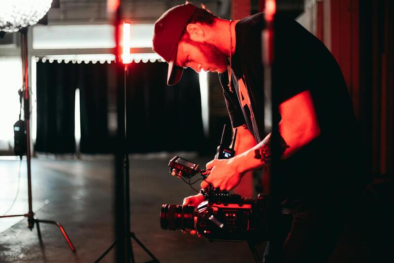
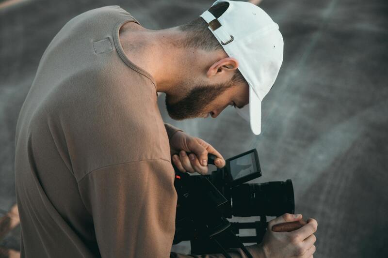
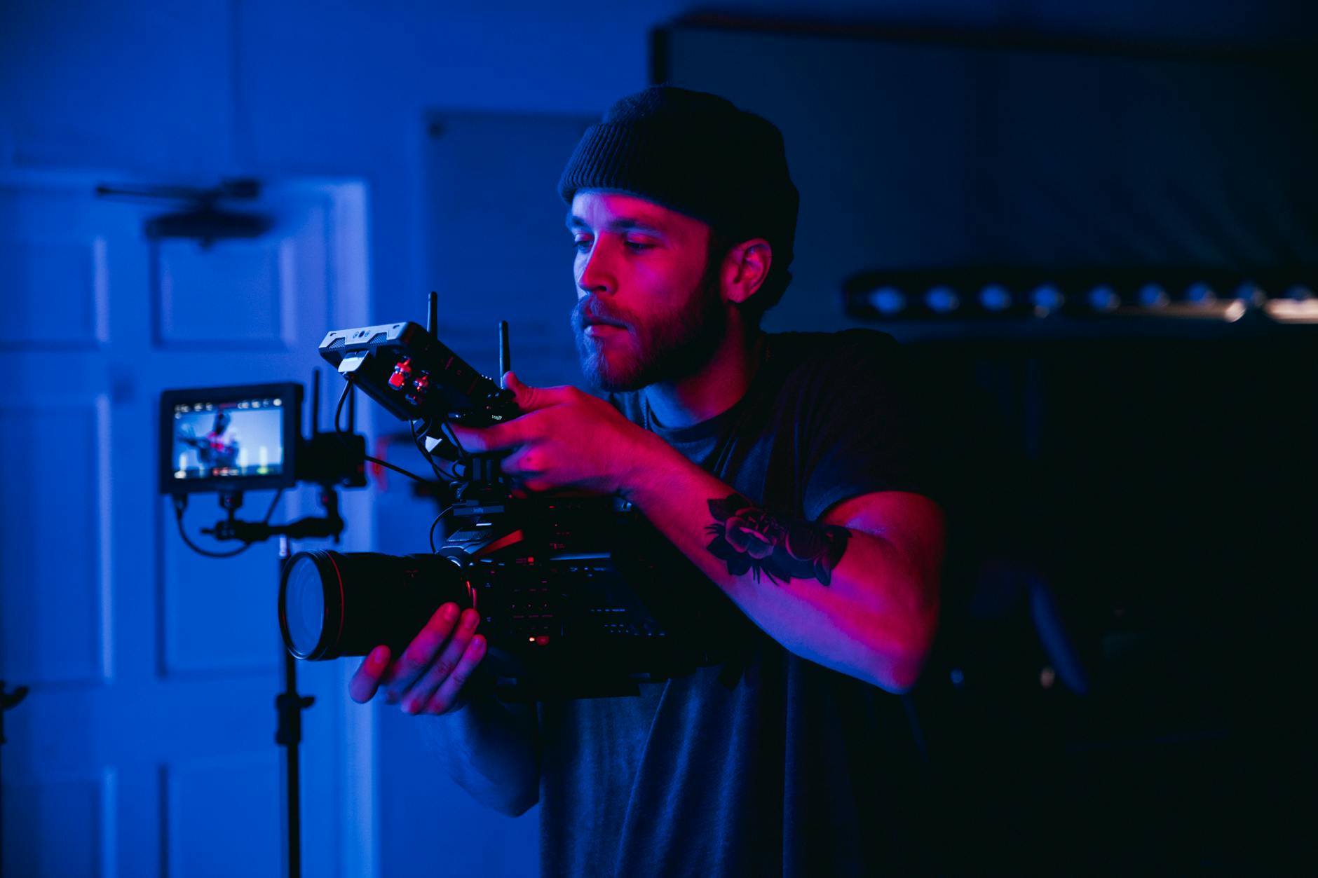
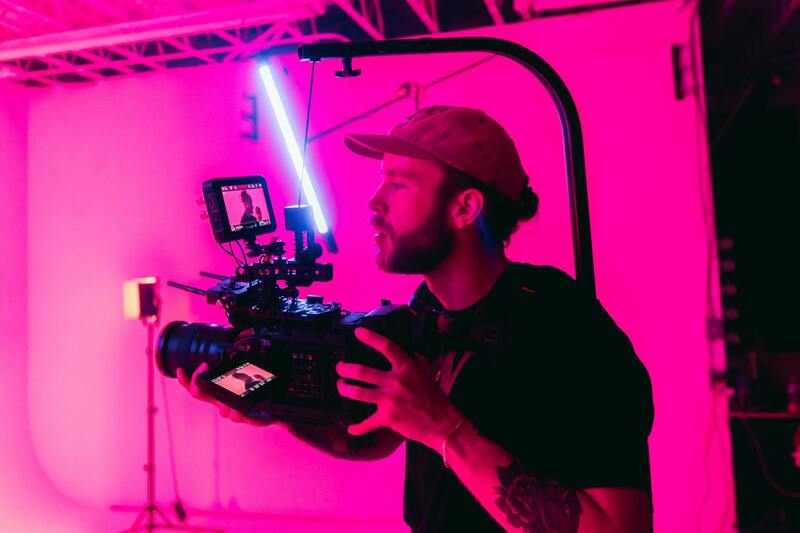
Engaging in aerial photography for real estate in Miami involves leveraging established and recognized methods that ensure high-quality results while navigating the specific requirements of the local market. These approved techniques typically encompass the use of sophisticated drone technology, which adheres to strict operational standards, and professionally trained pilots who possess comprehensive knowledge in aerial imaging. This adherence guarantees that each project meets precise technical specifications, delivering crisp imagery that effectively showcases property features from a captivating aerial perspective.
In practice, official aerial photography employs advanced unmanned aerial vehicles (UAVs) equipped with high-resolution cameras capable of capturing detailed images and videos at varying altitudes. This equipment allows for versatile shots—ranging from sweeping panoramas of landscape surroundings to focused views that highlight architectural details. Articulating the value of these methods, professional operators often utilize stabilized gimbal systems that eliminate motion blur, ensuring sharpness across all imagery. Moreover, these techniques are complemented by systematic flight planning, which involves meticulous pre-flight assessments to avoid obstructions, optimize lighting conditions, and respect designated flight zones within Miami's regulatory framework.
Another legitimate approach involves integrating these aerial captures with ground-level photography and virtual staging, providing comprehensive property visualizations. Such integrated media strategies boost online listing engagement and facilitate more immersive property tours. To do so effectively, professionals often employ specialized software to synchronize images, edit for optimal color and brightness, and craft compelling virtual tours—further increasing a property’s appeal without departing from authentic, officially sanctioned methods.
Additionally, obtaining necessary permissions and adhering to local space regulations form an integral part of legitimate aerial photography practices. For projects in Miami, this might involve coordinating with municipal authorities or obtaining special flight permissions, particularly for night-time shoots or flights over crowded areas. All compliance measures contribute to seamless project execution, mitigate risks, and uphold the high standards expected by real estate professionals and clients.
By consistently applying these recognized techniques and maintaining strict operational standards, aerial photography providers in Miami can deliver superior results that capture the unique qualities of each property. This professionalism not only enhances listing visibility but also aligns with the evolving expectations for digital marketing within the real estate sector, ensuring every shot portrays the property’s true potential in the most compelling manner.
Understanding the Value of Aerial Photography in Real Estate
In real estate, visual presentation plays a crucial role in attracting potential buyers and showcasing properties in their best light. Aerial photography offers a unique perspective that ground-level images cannot fully capture, such as expansive property boundaries, surrounding landscape features, and neighborhood context. This elevated vantage point allows for a comprehensive display of a property's scale, outdoor amenities, and spatial relationships, making listings more engaging and informative.
High-quality aerial images contribute significantly to the perceived value of a property, often accelerating the sales process by providing a clearer understanding of its features. These visuals also stand out in online listings, social media campaigns, and virtual tours, where compelling imagery can lead to increased inquiries and viewings. Professionals who specialize in drone-based aerial photography employ advanced equipment and techniques to deliver crisp, well-composed shots that align with marketing goals and regulatory standards.
Factors Influencing Aerial Photography Cost
The cost of aerial photography for real estate hinges on several key factors. These include the scope of the project, the complexity of the site, and the desired quality of imagery. Larger properties or those requiring multiple angles and shots naturally incur higher costs. Similarly, areas with restricted airspace or complicated access points might necessitate additional planning, permissions, or time, influencing overall expenses.
Equipment quality also impacts pricing. Professional-grade drones equipped with high-resolution cameras and stabilization systems produce superior images but come with increased operational costs. Additionally, the level of post-production editing and virtual staging requested by clients can alter the price, especially if advanced software and multiple revisions are involved.
Average Costs for Aerial Photography in the Miami Market
In Miami, the typical cost for aerial real estate photography falls within a defined range, reflecting the competitive yet high-standard market. Most professional providers charge between $150 and $400 per session. For smaller or straightforward projects, rates closer to the lower end are common, whereas larger or more complex properties may command premiums toward the higher end of the spectrum.
Many Miami-based professionals offer bundled packages that include multiple aerial shots, ground photography, and virtual tours. Buyers should expect to pay a base fee plus extras based on the number of images, video length, and specific client requests. The city's vibrant real estate market encourages high-quality visual offerings, leading to a consistent demand for premium aerial services.
Pricing Models and Packages
Aerial photography providers utilize various pricing models tailored to client needs. Common approaches include:
- Hourly Rates: Typically $150-$300 per hour, suitable for projects requiring flexible shooting times or multiple locations.
- Flat Packages: Fixed rates for specific sets of images, such as a standard property package including exteriors and aerial video clips.
- Per Image or Video: Pricing based on the number of high-resolution photos or minutes of drone footage, often with discounts for larger volumes.
Customized packages allow clients to select services that best fit their marketing strategies, balancing budget constraints with the desired visual impact. It is common to see tiered options that include basic coverage, enhanced imaging with editing, and premium offerings with virtual tour integration.
Additional Costs and Premium Services
Beyond the basic aerial photo shoot, certain premium services may add to the overall expense. These include:
- Night-time Shoots: Require specialized permissions and lighting equipment, increasing costs accordingly.
- Restricted Airspace Coordination: Navigating Miami's busy airspace might involve additional administrative fees or time investments.
- Extended Editing and Virtual Staging: Enhancing images with color correction, sky replacements, or virtual furnishings can significantly improve listing appeal but come with extra charges.
- Extra Footage or Virtual Tours: Longer videos or 3D walkthroughs involve additional editing and rendering time, raising the price.
When selecting a service package, clients should consider their marketing goals and the importance of visual quality. Investing in premium offerings can differentiate listings in a competitive market, translating into faster sales and better online engagement.
Legal and Official Methods for Determining Aerial Photography Cost
To establish legitimate and accurate pricing for aerial photography in real estate, professionals rely on standardized methods that reflect market rates, quality standards, and operational expenses. One of the primary tools used is the industry data collected from reputable associations and market surveys, which provides benchmarking figures that enhance transparency and fairness in pricing.
Consulting established industry reports and pricing guides from recognized sources ensures that service providers align their rates with local and national market trends. These guides often include detailed breakdowns of costs per project, hour, or footage, offering a comprehensive framework to set competitive yet profitable prices.
Additionally, direct market analysis through competing service providers in Miami provides insights into prevailing prices. This can involve discreet inquiries and reviewing publicly available service packages to understand the scope of services included at various price points. Such comparisons help in positioning offerings appropriately without undervaluing or overpricing services.
When pricing aerial photography for real estate, it is also common to leverage official platforms that offer standard cost calculators. These tools incorporate variables such as location, project complexity, and desired deliverables, enabling professionals to generate precise quotes based on legitimate input data.
Furthermore, establishing clear contractual guidelines helps in aligning client expectations with actual costs. Detailed proposals that itemize each service component—such as flight permissions, editing, virtual staging, and additional features—ensure transparency and adherence to official practices. Such documentation also facilitates accurate billing and documentation for future reference.
Professionals should also maintain compliance with operational standards that dictate necessary certifications, equipment quality, and insurance coverage. These factors, although not directly influencing cost calculation, contribute to the integrity and perceived value of the service, thereby justifying legitimate pricing strategies.
Understanding the Breakdown of Costs For Aerial Photography in Miami Real Estate
When evaluating the expenses involved in aerial photography for Miami real estate, it's essential to distinguish between the core components that contribute to overall cost. These components encompass the professional fees for aerial imaging, equipment usage, permits, and post-production editing. Each element plays a vital role in ensuring high-quality imagery that effectively showcases property features and maximizes marketing potential.
Key Cost Components in Detail
- Professional Service Fees: Typically, this forms the primary expense. Miami-based aerial photographers often price their services based on hourly rates, with separate charges for extensive shoots or complex projects. These fees include pilot expertise, flight operations, and camera operation.
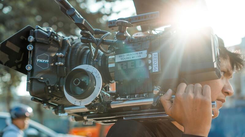
- Equipment and Technology: High-grade drones equipped with 4K or higher resolution cameras are standard. The maintenance, calibration, and upgrading of this equipment are factored into the overall cost, ensuring the imagery is crisp and professional.
- Permits and Flight Clearances: Navigating Miami's local airspace regulations often requires obtaining special permits. These legal documents, which ensure adherence to operational standards, entail application fees that contribute to the final pricing.
- Insurance Coverage: Comprehensive insurance policies protect against potential liabilities during flight operations. The annual premiums and policy-specific requirements are integrated into the service pricing.
- Post-Production Editing: High-quality images often undergo editing, color correction, and sometimes virtual staging. These services add value to the visuals and are billed separately or included in package rates.
Ancillary Expenses and Premium Offerings
Beyond standard aerial shots, clients frequently seek additional services that influence cost. These include:
- Virtual Tours and 3D Mapping: Creating immersive virtual experiences or detailed property models requires advanced software and expertise, leading to premium charges.
- Night or Drone Light Shows: For high-impact presentations, nighttime shoots with lighting effects are more intricate, demanding specialized equipment and additional planning.
- Specialized Equipment: Use of drones with obstacle avoidance, longer flight times, or multi-camera setups increases operational costs, thus affecting service pricing.
Factors That Justify and Influence Pricing Variations in Miami
Miami's real estate market is diverse, spanning luxury waterfront estates to commercial properties. Variations in property size, complexity, and location impact the pricing structure significantly:
- Property Size and Complexity: Larger estates or properties with multiple structures necessitate longer flight times and more footage, increasing costs.
- Accessibility and Flight Conditions: Difficult-to-reach locations, restricted airspace, or adverse weather conditions require additional planning and risk management, impacting pricing.
- Time Sensitivity and Turnaround: Urgent requests for expedited delivery or multiple revisions elevate service fees.
- Seasonal Demand: Peak real estate seasons in Miami can influence rates due to higher demand for professional services.
Strategies for Cost Efficiency and Value Optimization
Real estate professionals aiming to optimize their investments in aerial imagery can adopt strategic approaches:
- Bundled Packages: Opt for comprehensive packages that combine aerial photos, videos, and virtual tours, often at discounted rates.
- Clear Scope Definition: Clearly outline project requirements to avoid unexpected charges and streamline service delivery.
- Off-Peak Scheduling: Schedule shoots during less busy periods to negotiate better pricing or secure additional services.
- Pre-Shoot Planning: Precise planning reduces flight time and minimizes the need for reshoots, thereby lowering costs.
In-depth understanding of these cost components and influencing factors empowers Miami real estate professionals to budget effectively for aerial photography campaigns, ensuring they secure top-tier imagery that enhances property presentation and market competitiveness.