
Introduction to Drone Photos for Real Estate
In the evolving landscape of property marketing, drone photography has emerged as a vital tool that elevates the presentation of real estate listings. By leveraging the capabilities of unmanned aerial vehicles, real estate professionals can capture striking aerial images that reveal a property’s full extent, surrounding environment, and unique architectural features from perspectives previously inaccessible through traditional ground-based photography.
High-quality drone images provide potential buyers with a comprehensive view of a property—highlighting the scale of land, the condition of the roof, landscaping, and nearby amenities. This spatial perspective helps create a compelling narrative around the property, making listings stand out in a competitive market. As online property searches dominate the real estate industry, having eye-catching drone photos enhances a listing’s visual appeal, leading to increased interest, more showings, and ultimately, faster sales.
The integration of drone photography into marketing strategies is not just a trend but a proven practice driven by its ability to deliver distinctive advertising advantages. Aerial imagery provides depth and context, demonstrating a property’s position within its neighborhood or proximity to critical infrastructures like schools, parks, and transportation hubs. These visuals help prospective buyers visualize their lifestyle and assess the property's suitability more effectively.
In addition to marketing benefits, drone images contribute to transparency and confidence during the buying process. Clear, detailed aerial photos allow for precise inspections and assessments without requiring physical site visits initially, saving time and resources. For real estate agencies and brokers, incorporating drone photography into listing packages enhances professionalism and demonstrates a commitment to high-quality service, reinforcing trust with clients.
As technology continues to advance, the role of drone photography in real estate marketing becomes increasingly sophisticated, offering tools such as 3D modeling, virtual walkthroughs, and interactive maps. These innovations further deepen the viewer’s engagement and provide a more complete understanding of the property before any physical visit occurs. For those seeking to elevate their real estate marketing, mastering the effective use of drone photos is essential in capturing attention and conveying value in the digital age.
Adherence to Official Flight Procedures and Protocols
Maintaining adherence to established flight procedures and protocols is paramount for capturing high-quality drone photos for real estate in a responsible manner. This includes meticulous pre-flight planning, such as reviewing aeronautical charts, weather conditions, and restricted airspace zones to ensure smooth operations. Conducting comprehensive site assessments helps identify potential obstacles like power lines, tall trees, or structures that could interfere with drone maneuverability or safety.
Operators should also develop a detailed flight plan outlining intended flight paths, altitudes, and shot angles. This plan serves as a roadmap during the shoot, reducing risks of unintended deviations. Prior to flight, ensuring all drone components are in optimal condition—such as calibrated sensors and fully charged batteries—minimizes chances of technical failures mid-air. Executing each flight with precision aligns with best practices, ensuring the quality of imagery and safety for surrounding areas.
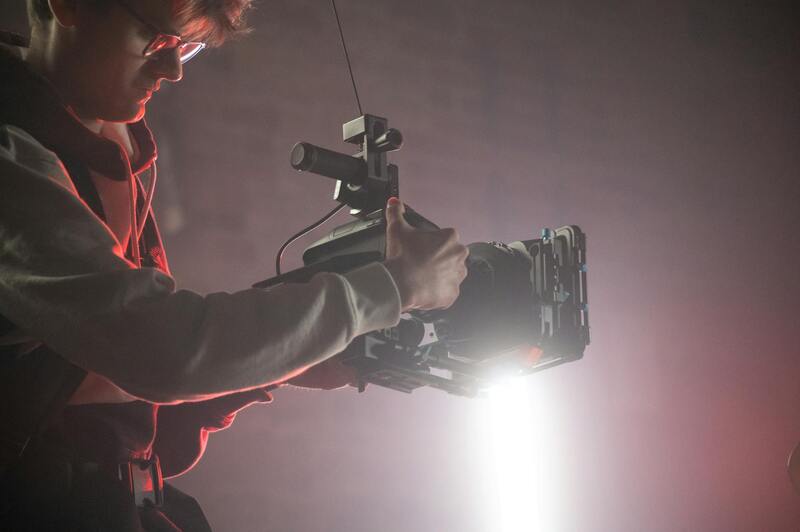
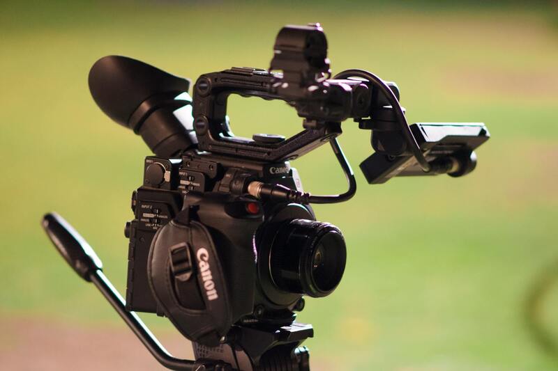
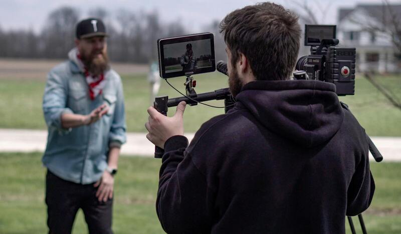
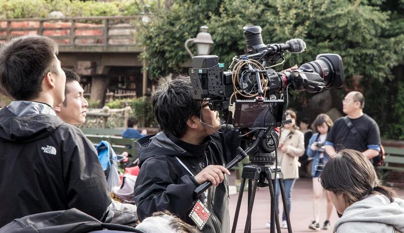
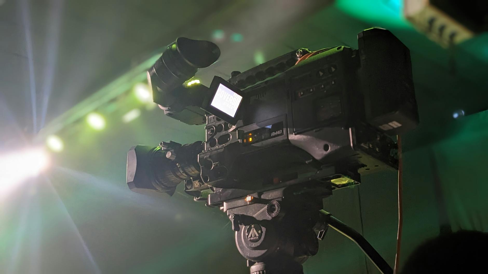
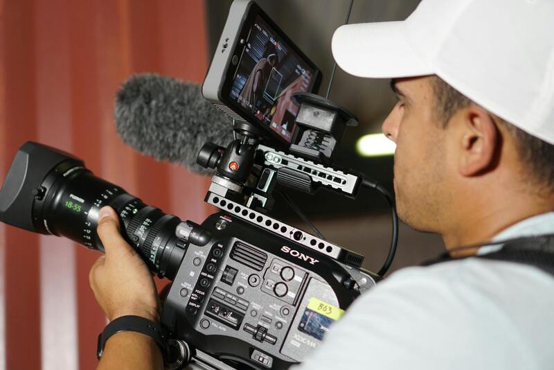
Engaging Certified and Experienced Operators
Professionally executed drone photography hinges on the skill and experience of the operator. Certified pilots possess the necessary training to navigate complex airspace and handle sophisticated equipment, guaranteeing stable footage and compliance with operational standards. Their expertise extends to understanding the nuances of different camera configurations, angles, and shooting techniques that best showcase a property’s features.
Experienced drone operators are adept at handling various environmental conditions, such as changing light, wind, or obstructions, ensuring consistent capture of sharp, clear images. Collaboration with certified professionals not only enhances the aesthetic quality of drone photos but also provides peace of mind that the operation adheres to all procedural requirements. Skilled operators can swiftly adapt to unforeseen challenges, leveraging their technical proficiency to deliver compelling visuals that elevate property listings.
Utilizing Proven Data and Official Guidelines
Incorporating official data sources and standardized guidelines ensures drone photography remains accurate and reliable. Access to geographic information systems (GIS), aerial navigation charts, and real-time air traffic data allows operators to plan flights that respect airspace restrictions and avoid conflicts with manned aircraft. These datasets contribute to strategic planning, helping identify the safest and most effective flight zones for capturing striking visuals.
Further, adherence to recognized operational standards—such as maintaining specified distances from populated areas, respecting privacy considerations, and following altitude restrictions—facilitates responsible drone use. This disciplined approach helps produce high-resolution imagery that accurately depicts the property's surroundings and all relevant features while maintaining the integrity of the operational environment. When these practices are combined, they produce drone photos that are both visually stunning and ethically conducted, reinforcing trust with clients and viewers alike.
Implementing Established Procedures for Drone Photography in Real Estate
Executing drone photography in real estate necessitates adherence to structured operational protocols. This involves coordinating with qualified drone pilots who follow standardized flight planning processes, ensuring that each registered flight complies with relevant geographic and airspace data. Utilizing detailed geographic information system (GIS) data and real-time air traffic monitoring allows pilots to determine optimal flight zones, thereby minimizing risks and maximizing image quality.
Operational planning begins with a comprehensive assessment of the property location, surrounding environment, and potential obstacles. Pilots leverage aerial navigation charts to select appropriate flight paths and altitudes, respecting established distance requirements from neighboring structures and populated areas. These measures not only favor safety but also facilitate capturing clear, high-resolution images that faithfully represent the property's features.

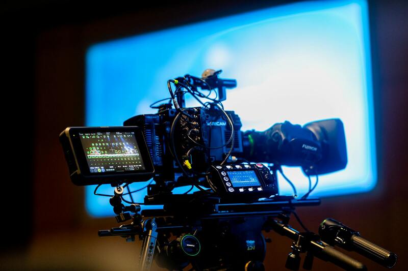
In addition to following flight regulations, pilots employ advanced techniques such as shooting at optimal times during natural lighting conditions, ensuring consistent image exposure and clarity. The use of calibrated cameras with stable gimbals allows for steady shots devoid of motion blur, capturing details crucial for real estate listings. Post-flight data processing and editing conform to industry standards, balancing aesthetic appeal with factual accuracy, which is essential for transparency and potential legal considerations.
Incorporating comprehensive checklists and operational guidelines developed by professional associations ensures the drone photography process remains both efficient and responsible. This disciplined approach guarantees the production of compelling visual content that accurately highlights a property’s unique features, providing prospective buyers with a reliable and immersive viewing experience.
By strictly implementing these established procedures, real estate professionals can maintain high standards that protect all parties involved while capturing exceptional aerial images. The combination of precise planning, technical expertise, and adherence to recognized operational practices results in drone photos that not only attract attention but also uphold credibility. This proactive methodology fosters trust among clients, brokers, and potential buyers, emphasizing a commitment to responsible and professional real estate marketing practices.
Official Methods for Conducting Drone Photography in Real Estate
Adhering to rigorous and approved procedures ensures that drone photography in the real estate sector maintains its professional standards and complies with established conventions. One of the fundamental practices involves thorough pre-flight planning, which includes detailed site assessments, understanding the property layout, and identifying potential obstacles. This preparation work helps mitigate risks and facilitates smooth operations, ultimately leading to high-quality imagery that accurately showcases the property.
During the actual flight, pilots employ authorized equipment calibrated to industry standards for aerial imaging. This includes high-resolution cameras mounted on stabilized gimbals, which prevent motion blur and capture sharp, detailed shots from various angles. Maintaining a safe distance from structures and neighbouring properties not only preserves privacy but also aligns with responsible image capturing protocols, especially in densely populated or sensitive areas.

Post-flight procedures are equally critical. They involve data processing and image editing that adhere to high industry standards to preserve authenticity while enhancing visual appeal. This approach ensures the final output is not only engaging but also factually accurate, which is vital for building trust with prospective clients and maintaining transparency throughout marketing campaigns.
Operational Guidelines and Industry Best Practices
Implementing established operational guidelines developed by professional associations and authoritative bodies guarantees that drone photography in real estate follows a responsible framework. These guidelines emphasize safety protocols, flight restrictions, and ethical considerations—such as respecting privacy and avoiding sensitive zones—that foster credibility and professionalism.
- Pre-flight risk assessments and site evaluations
- Utilization of certified and well-maintained equipment
- Adherence to designated flight altitudes and zones
- Proper documentation and record-keeping of flight operations
- Post-flight data management and reporting procedures
Such disciplined practices contribute to consistent, reliable, and visually compelling imagery that aligns with the highest standards expected in real estate marketing, providing potential buyers with an immersive experience that highlights a property's unique features and location advantages.
Adhering to Certified Flight Procedures for Quality Images
Maintaining strict adherence to certified flight procedures not only ensures the safety of drone operations but also significantly impacts the quality and credibility of the visuals captured. Professional drone operators utilize pre-established flight plans that delineate specific routes, altitudes, and angles tailored to each property. These meticulously planned flights eliminate unnecessary risks and optimize the drone's capabilities to acquire optimal images.
Furthermore, comprehensive pre-flight assessments are critical. These evaluations involve analyzing weather conditions, wind speeds, and potential obstacle zones, which are essential factors influencing the drone’s stability and camera steadiness. By doing so, operators can prevent image distortion caused by turbulence or sudden movements, resulting in sharp, high-resolution photos that truly showcase the property’s features.
Post-flight, data management protocols are equally vital. Capturing detailed logs of each flight session, including GPS coordinates, flight paths, and camera settings, aid in maintaining a reliable record of the imagery collection process. This transparency is important not only for accountability but also for fine-tuning future shoots based on the outcomes of previous flights.
Using these disciplined operational procedures guarantees that the drone photography aligns with high industry standards. The resulting images contribute to a more engaging and immersive marketing experience. They highlight the property's unique architectural features, surrounding landscape, and connectivity to local amenities, providing prospective buyers with a comprehensive view that encourages informed decision-making.
Ensuring Privacy and Ethical Considerations
In addition to operational safety, respecting privacy rights and ethical considerations remain paramount. Skilled operators carefully select flight zones that avoid encroaching on neighboring properties or sensitive areas, ensuring that the imagery remains focused solely on the targeted property. They also employ technologies like geofencing, which help prevent unauthorized or unintended capturing of images in restricted zones.
By meticulously following these practices, drone photography professionals uphold the integrity of the visual content they produce. This commitment to responsible imaging fosters trust with clients and enhances the overall perception of real estate listings. Potential buyers receive authentic, high-quality visuals that are both compelling and respectful of privacy boundaries—critical components in effective property marketing campaigns.
Official Documentation and Certification for Drone Operations
To ensure that drone photos for real estate are captured responsibly and professionally, operators should possess at least one official certification demonstrating their proficiency and understanding of drone operations. These certifications serve as proof of adherence to standardized procedures and safe flying practices, which is vital when working in various environments around residential and commercial properties. A widely recognized certification is the FAA Part 107 license, which requires comprehensive knowledge of airspace regulations, operational limitations, and safety protocols. Holders of this license have demonstrated their ability to conduct drone flights that meet high industry standards, instilling confidence in clients regarding the safety and legality of the services provided.
In addition to certifications, operators should maintain thorough documentation of their drone equipment and flight permissions, especially when working within specific airspace zones that require additional authorizations. This paperwork not only confirms compliance but also streamlines interactions with regulatory bodies when necessary. For real estate professionals, working with certified operators ensures that all drone photographs and footage are acquired through methods that respect established protocols, reducing the risk of disruptions caused by unplanned incidents or non-compliant operations.

Utilizing Geofencing and Flight Planning Tools
Precise flight planning is fundamental to capturing legitimate and appropriate aerial imagery for real estate listings. Modern drone operation utilizes advanced software that incorporates geofencing technology—virtual boundaries set within the drone’s flight path to prevent unauthorized entry into restricted areas. This technology helps pilots avoid sensitive zones, such as airports, military installations, or private properties not designated for aerial imaging, ensuring all flights are conducted within permitted zones.
Pre-flight planning software facilitates the creation of detailed flight paths, which are crucial when aiming for specific angles or coverage of properties. These tools integrate real-time airspace data, weather conditions, and obstacle avoidance measures, enabling operators to craft safe and effective flight routes that adhere to all regulation requirements.
Adhering to Permitted Flight Zones and Times
Another pillar of legitimate drone photography involves respecting designated flight zones and time restrictions. Many areas, especially densely populated neighborhoods or regions near airports, have designated hours during which drone operations are permissible—often to minimize disruption and ensure safety. Operators should verify local regulations and obtain necessary permissions before scheduling shoots, especially for properties located in complex or high-traffic areas.
In instances where photographs are required beyond standard hours, authorization should be secured through proper channels, often involving local authorities or property owners. This process ensures that drone flights are executed within accepted timeframes, preserving the privacy of occupants and the peace of the community. Maintaining a detailed log of flight times, locations, and permissions further enhances accountability and demonstrates compliance should questions about the legitimacy of the operation arise.
Documented Flight Authorization for Complex Environments
In environments with heightened restrictions, such as urban centers or near critical infrastructure, additional documented approvals are advisable. These may include signed permissions from property owners or local authorities, especially when flights involve repetitive or long-duration captures. Ensuring all flights are backed by proper documentation not only aligns with best practices but also minimizes potential delays or misunderstandings during the execution of a shoot.
Qualified operators proactively manage these approval processes, keeping detailed records for each flight. This compliance not only reflects professionalism but also guarantees a seamless experience that enhances the credibility of each listing’s visual content, presenting properties in the best light without unnecessary risks or complications.
Ensuring Proper Credentialing and Adherence to Restrictions
Accurate authorization forms the backbone of professional drone photography for real estate. Before executing any shoot, operators must verify that they possess the necessary credentials to fly in designated areas. This entails confirming registration with relevant aviation authorities and acquiring the requisite permissions to operate within specific flight zones. Using official channels to secure these credentials guarantees that drone flights are conducted within approved boundaries and schedules.
For properties located in densely populated or restricted zones, additional documentation may include signed agreements from property owners or local authorities. These documents not only validate the flight plan but also reinforce the professionalism of the service provider. Maintaining meticulous records of all permissions, flight times, and flight paths is essential. This documentation serves as proof of compliance and demonstrates commitment to responsible operation standards, fostering trust with clients and stakeholders.
Respecting Airspace Regulations and Using Technology for Compliance
Adherence to airspace regulations is critical for safe and efficient drone photography. Operators leverage advanced technology such as geo-fencing, automatic flight logs, and airspace maps integrated into their drone systems to stay within permissible zones. These tools help prevent inadvertent violations by alerting pilots when they approach restricted or sensitive areas. Combining technological safeguards with pre-flight planning enhances safety and avoids potential disruptions.
Utilizing real-time flight monitoring systems also allows operators to adapt dynamically to changing conditions, ensuring that each flight remains compliant with established parameters. This proactive approach minimizes risks and ensures that each set of imagery is captured within the authorized scope, preserving the integrity of the operation and upholding professional standards.
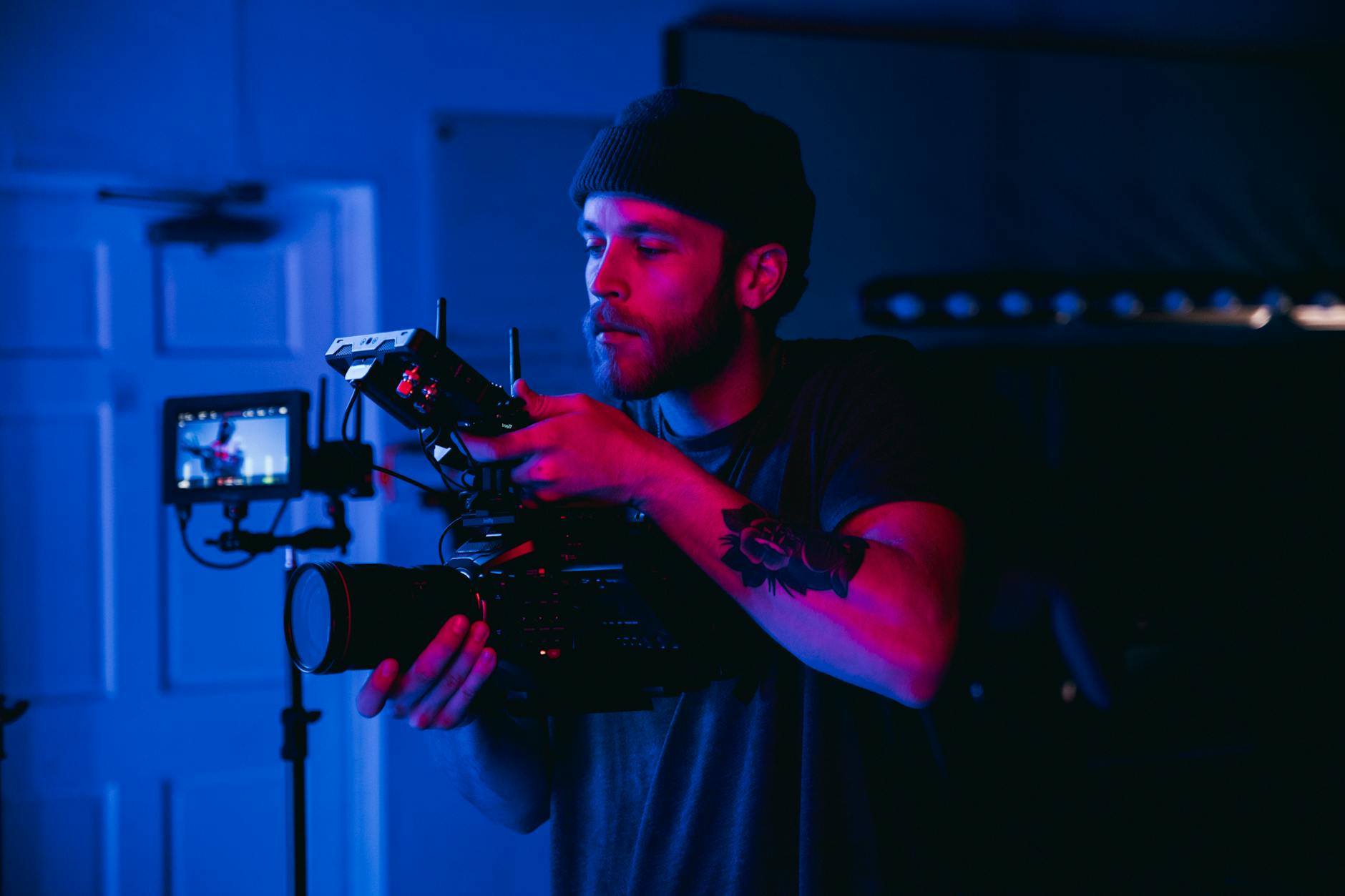
Role of Experienced Pilots in Official Drone Photography
The proficiency of drone pilots plays a significant role in executing official real estate images responsibly. Certified operators possess in-depth knowledge of airspace laws, safety protocols, and flight optimization techniques. Their expertise ensures that captures are not only visually compelling but also compliant with all operational requirements.
Seasoned pilots conduct thorough site assessments before each flight, evaluating potential hazards, weather conditions, and required permissions. They implement meticulous flight plans tailored to property features, which helps in obtaining high-quality images while maintaining regulatory adherence. This attention to detail signifies a commitment to professionalism and safety, ultimately delivering superior marketing content that accurately represents the property.
Secure and Official Methods for Drone Photography in Real Estate
When looking to incorporate drone photography into real estate marketing, opting for established and recognized channels ensures that the process aligns with procedures designed for safety and quality. The most reliable method involves engaging with licensed drone operators who hold certifications granted through recognized organizations. These operators have completed comprehensive training programs that cover not only flight proficiency but also adherence to operational standards that maintain safety and image quality.
Certification programs, such as those based on FAA Part 107 standards, validate a pilot's ability to conduct commercial drone flights responsibly. Such certifications often require passing written exams, demonstrating hands-on flying skills, and understanding airspace regulations. Working with licensed operators ensures that all necessary permissions are obtained beforehand, minimizing delays and disruptions.
Furthermore, employing drone services that possess proper insurance coverage provides additional protection for all parties involved. This coverage safeguards not only the drone operator but also the property owner and any other stakeholders should unforeseen incidents arise during the shoot.
Official Permissions and Permits for Drone Operations
Acquiring the appropriate permits is a fundamental component of official drone photography. These permits typically involve formal applications to local, state, or federal agencies, depending on the extent and location of the flight. For residential properties, operators often coordinate with authorities to secure airspace authorizations that account for nearby airports, restricted zones, or sensitive areas.
This process includes detailed flight plans, which specify the flight path, altitude, and duration. Submitting these plans in advance helps to coordinate with air traffic control if necessary, ensuring that drone flights do not interfere with manned aircraft operations.
Utilizing Authorized Equipment and Software
A key aspect of operational legitimacy is the use of certified drone equipment and licensed flight planning software. These tools help pilots adhere to prescribed flight parameters, monitor real-time airspace activity, and avoid unauthorized airspace intrusion. High-resolution cameras mounted on compliant drones capture vivid images with the necessary detail to enhance property listings.
Involvement of Trained and Certified Pilots
Responsibly conducted drone photography is driven by skilled pilots with extensive training. These certified operators are equipped with the knowledge to manage various technical and regulatory challenges, ensuring that each shoot is performed correctly and safely.
Experienced pilots conduct pre-flight assessments, evaluate weather conditions, and plan routes meticulously. This thorough preparation maximizes image quality while maintaining adherence to all procedural requirements, delivering consistent results that accurately represent the property.
Conclusion
Adopting official and legitimate methods for drone photography in real estate not only ensures a high standard of visual quality but also aligns with the guidelines set out by authoritative bodies involved in drone operations. Partnering with licensed, insured, and certified drone professionals guarantees that your property marketing investments are protected and that the imagery produced is both stunning and responsibly captured.